|
|
|
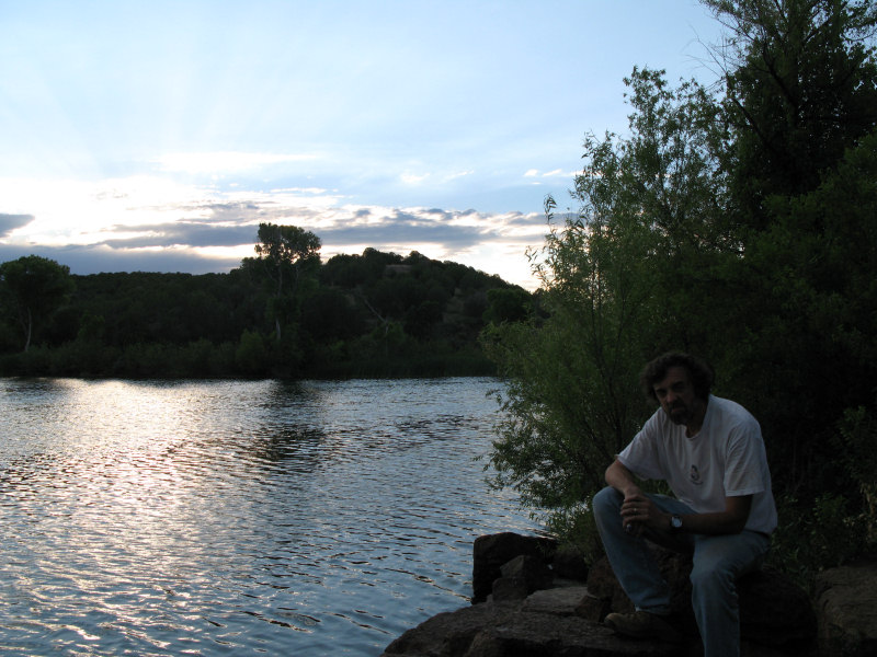
The Trail:We found a description for a number of mines in a book, researched the area and found some benchmarks and views there, so we decided to take the Jeep out there and check it out. There where three Chrysotile (Asbestos) mines in the area: Phillips, Regal and Emsco, some old abandoned miner dwellings, and some nice scenery. The trails ran from well graded to fairly heavily rutted, some impassable (at least we didn't want to try). Rating:1.0 on the Fire Road, 2.0 on some of the rutted trails Runs:Date: 6/28/2009Suspension: TeraFlex 2.5" Spring Lift, stock tiresPhotos:A shot of Seneca Lake - unfortunately the immediate area around the lake is trashed:
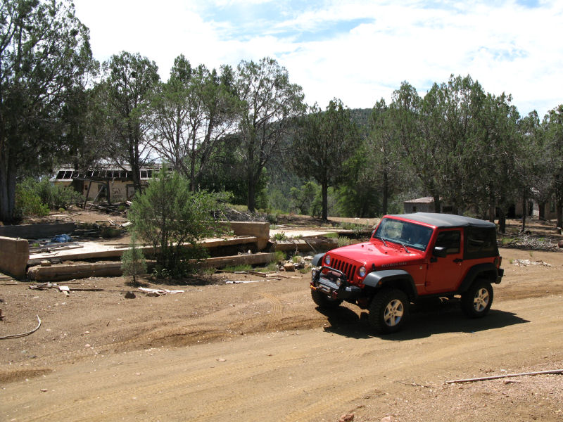
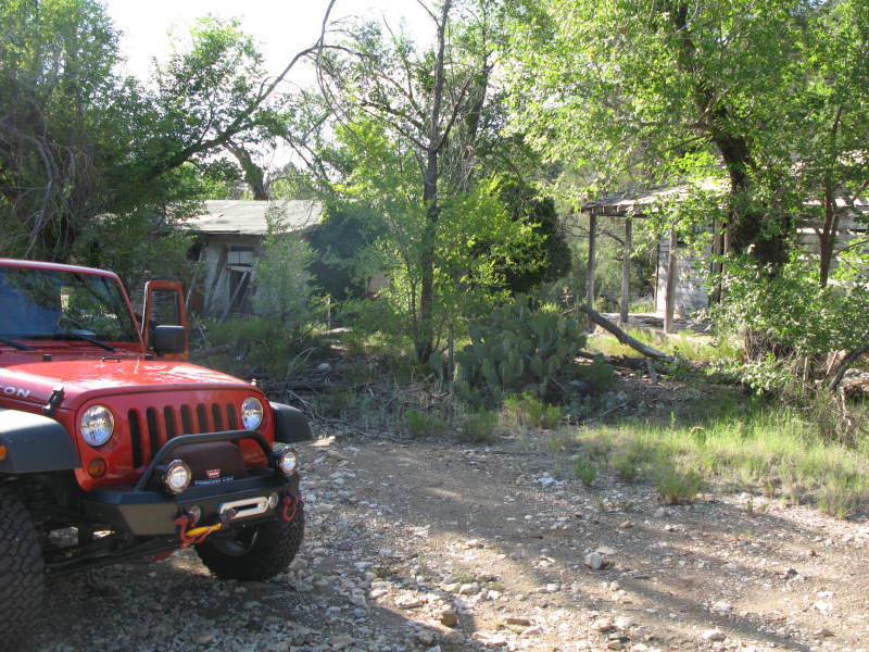
The first mine we visited was Phillips Mine. On the way to the mine was a small abandoned miners village:
Another shot:
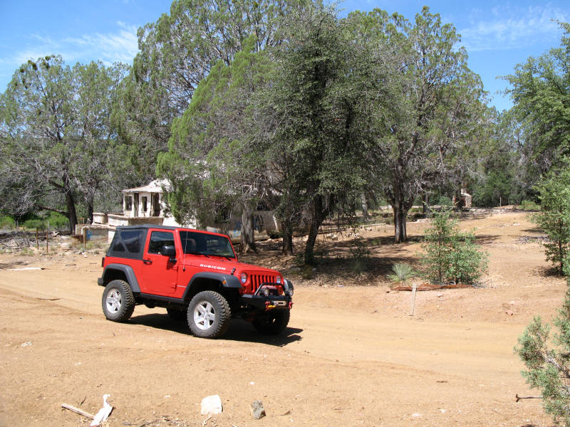
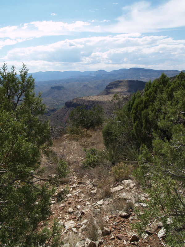
We didn't get any shots finding the correct trail to get to the top of the mine, but we did finally make it (you can see the small village just above the hood and roof of the Jeep):
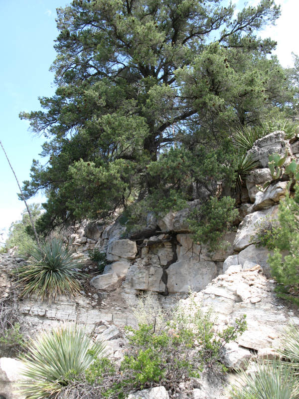
Some of the vegetation that now is among the mines:
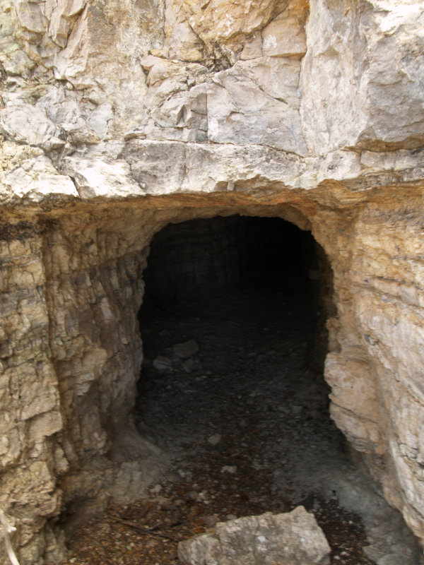
Here's one of the mine entrances. All of the mines (five or six?) in this are where pretty shallow - maybe 40 feet long:
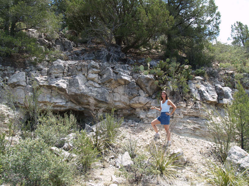
This entrance was easy to access and still had un-mined Chrysotile veins and some Serpentine on the sides:
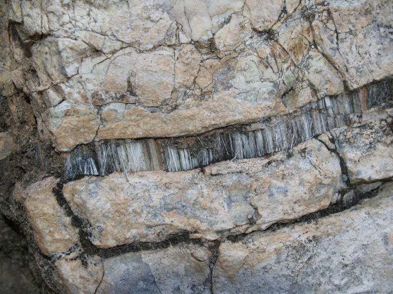
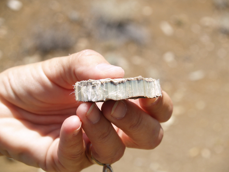
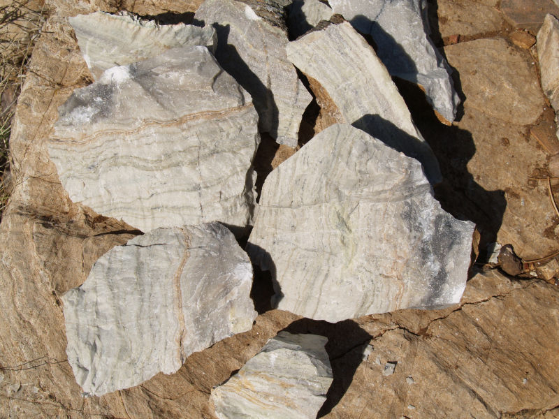
A close-up of a Chrysotile vein:
A removed piece of another vein:
On the way back down from the mine we stopped at the bottom of some tailings to gather some specimens:
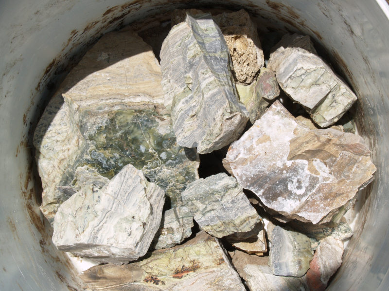
Here are some of the minerals we gathered:
On the way out to the Verde Antique Marble area and a benchmark we found a place to stop and eat lunch:
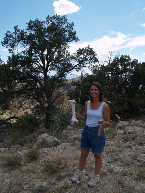
Jane found some old bones, but we decided to just eat our packed lunch:
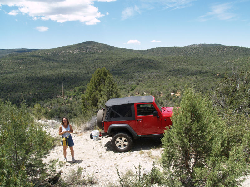
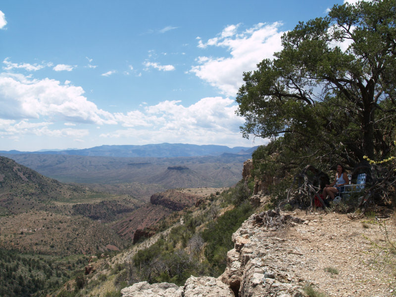
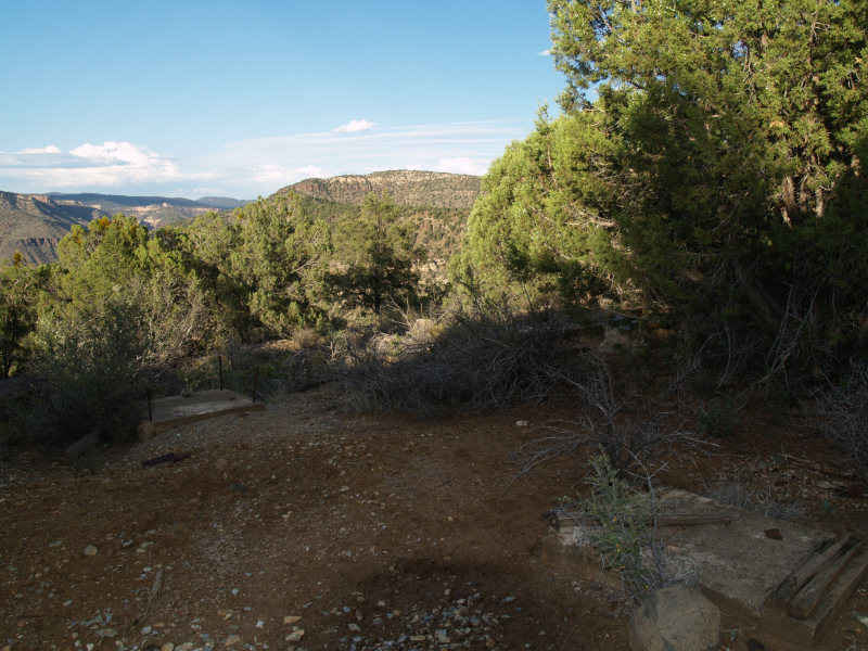
We found a nice shady spot that was breezy and had a decent view:
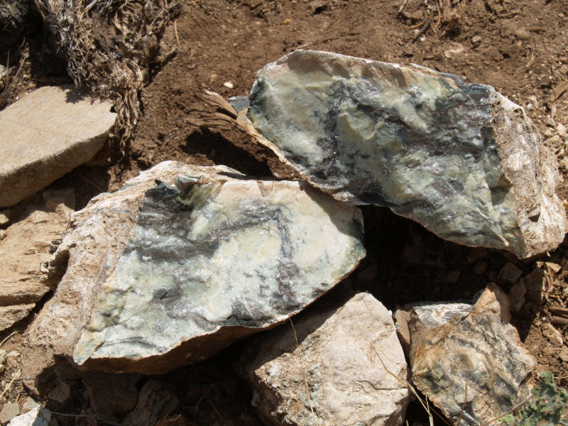
We also found rocks like this:
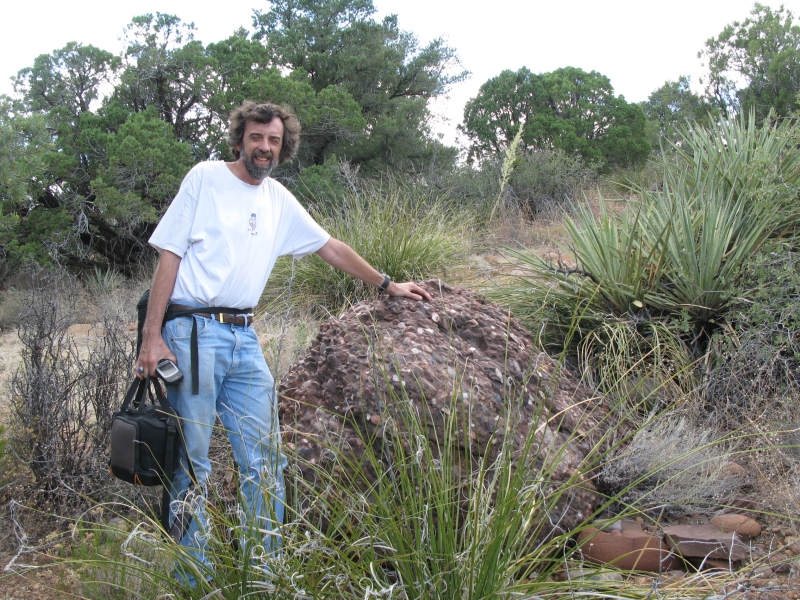
After lunch we headed up a small hill to recover a benchmark and came upon this boulder of Conglomerate (we were at about 4,800 feet):
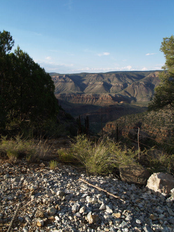
After the benchmark we headed to the Verde Antique Marble area. Here's a view of the area:
Here are some samples we gathered:
The next mine to investigate was the Seneca Mine. First we ran across a few older abandoned miner homes:
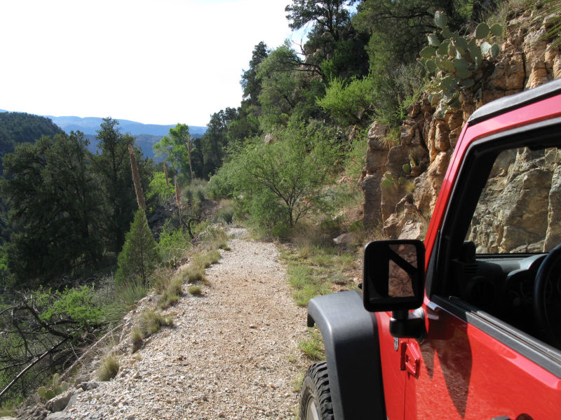
The trail was a little narrow, but flat and fairly easy to drive until we hit this spot. A landslide took out the road just beyond the small tree that's growing in the middle of the trail. The fall off from the trail on the left is about 150 feet and the right side is pretty unforgiving on body panels, so Jane helped Joe backup until a wider section of the road provided a turnaround spot. We never got close enough to the mine to collect any rocks:
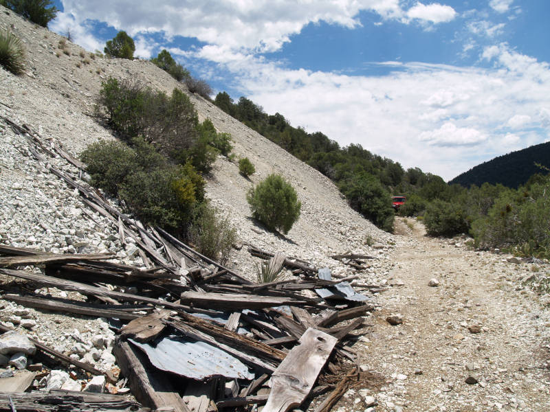
The last mine was the Emsco Mine. The trail was very good until we hit a 3.5+ obstacle that was followed by the trail quickly dimming due to the vegetation reclaiming the trail, so we decided to park and walk to the mine. We found that the mine was actually located on the edge of a far cliff and access to it was made via cable runs from this side. Here are some of the concrete foundations for some of the equipment that was removed:
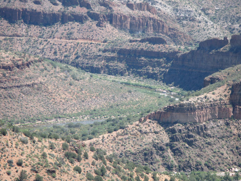
The barbed wire marks the edge of the cliff where the cable system spanned out to the mine:
You can see the Salt River at the bottom:
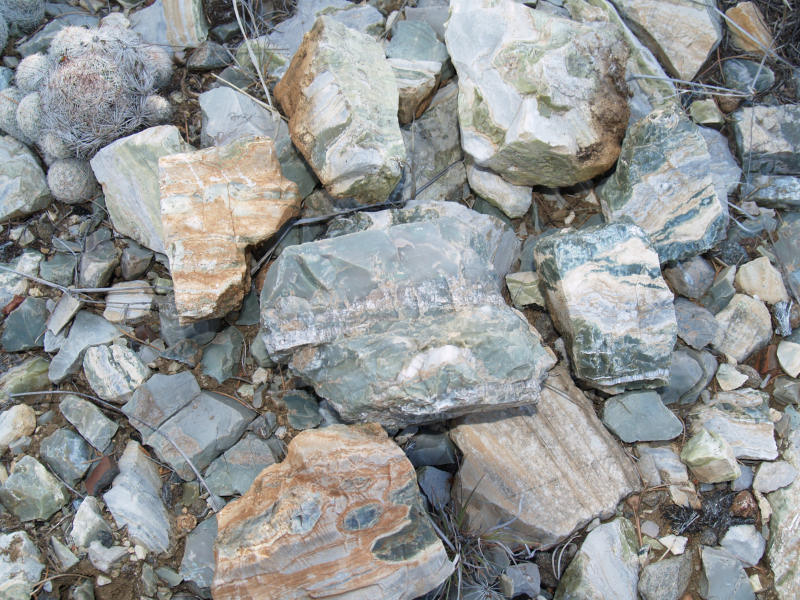
Here are some of the rocks we collected:
If you have any questions or comments about this page click here to send email.Last modified: December 21, 2009 06:54:47 PM |