|
|
|
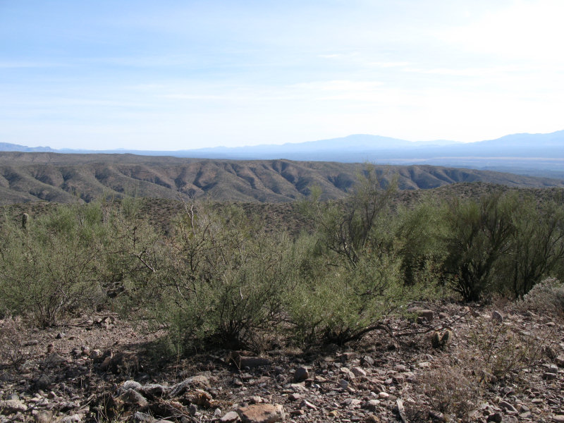
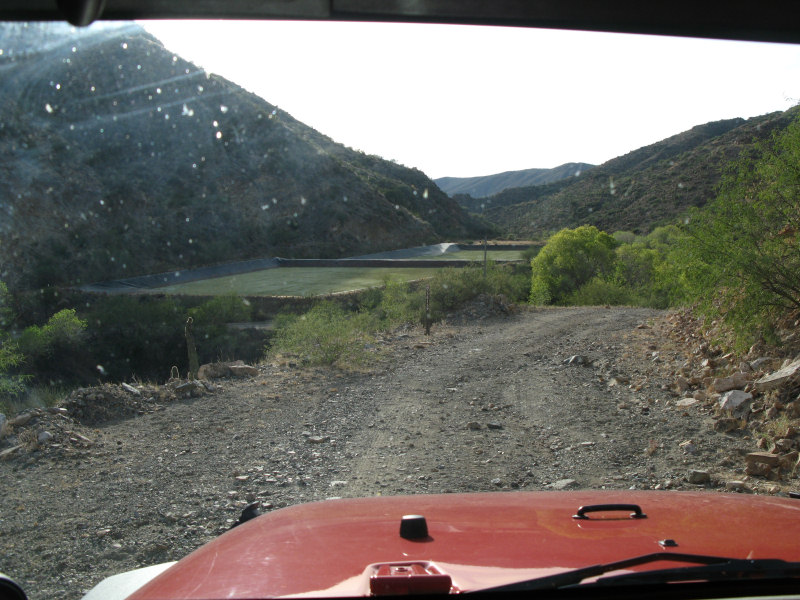
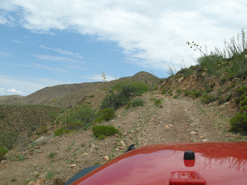
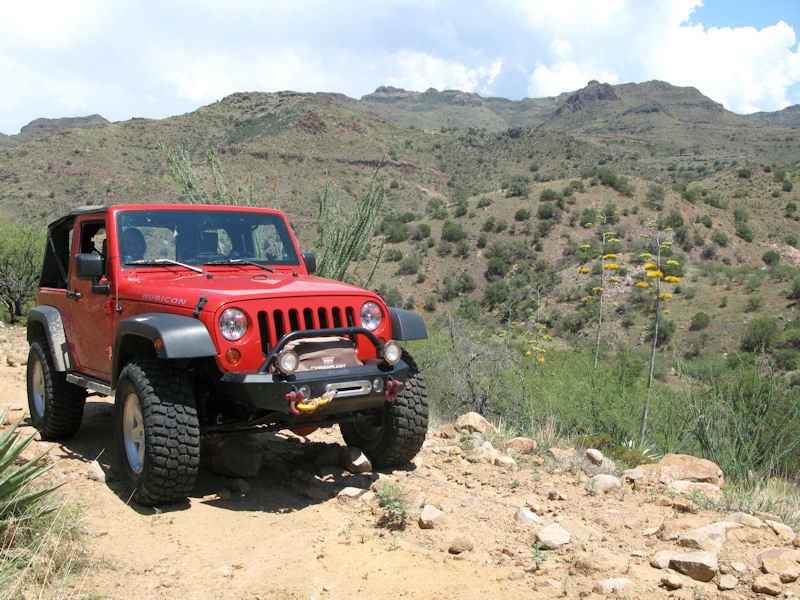
The Trail:We entered this area when we were out Benchmarking. There are old workings scattered throughout the area and unmarked roads crisscross the mountains. We tried to stick to the trails on our GPSr and maps, but still ran into some main roads that are now blocked by locked gates. The trails are primarily dirt roads that are rough and rocky in some stretches. Rating:2.0 Runs:Date: 10/30/2009Suspension: TeraFlex 2.5" Spring Lift, BFG 35x12.50x17Photos:A view from the access road heading into the area:
Another view - the road is on the left side:
Still heading in:
Still heading in:
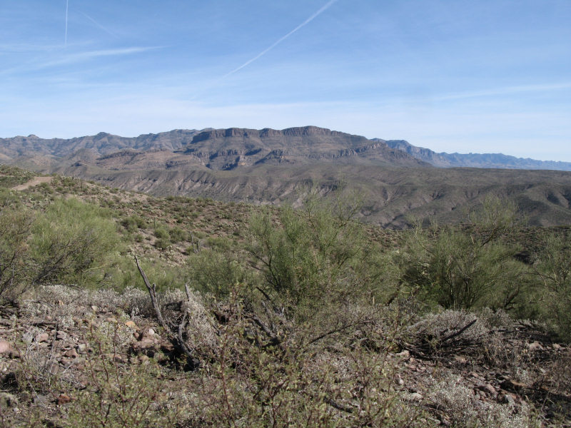
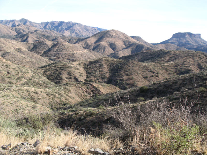
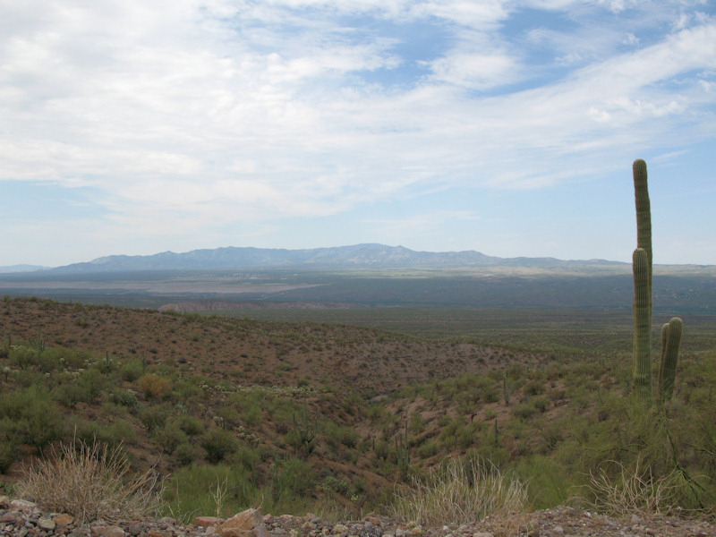
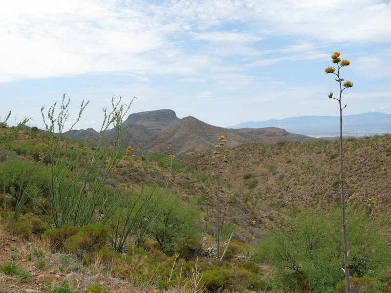
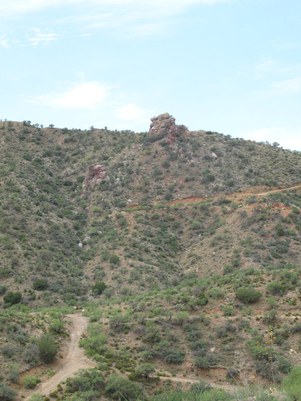
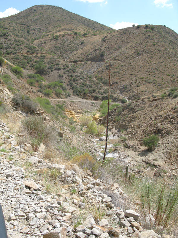
A view of the area. You can see some of the trails in the mountains. A GPSr that records you past location (breadcrumbs) really comes in handy when wandering around on the trails:
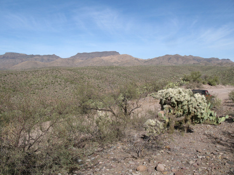
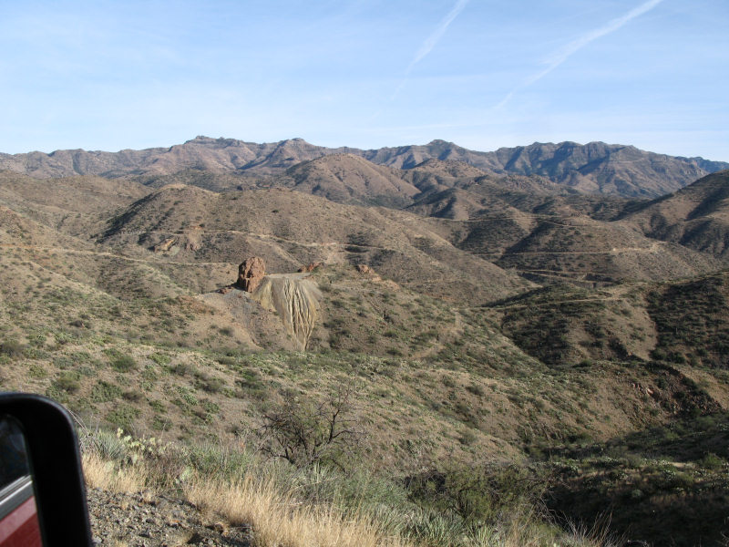
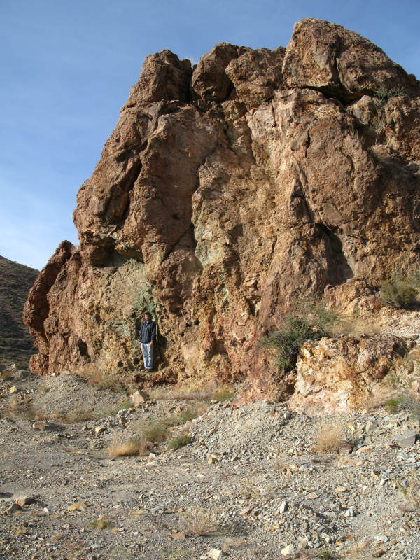
Another view of the area. Glory Hole Mine is to the center left, Copper Prince Mine is behind it to the left, and The Hendrickson Mine is behind it to the right:
Parked at Glory Hole Mine:
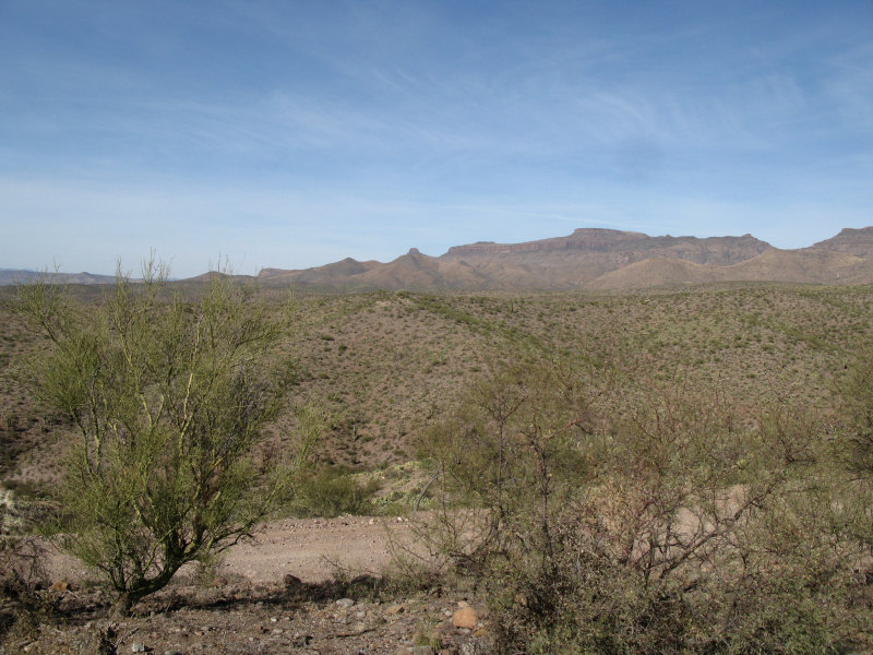
A view from Glory Hole Mine:
Still some copper in the rocks:
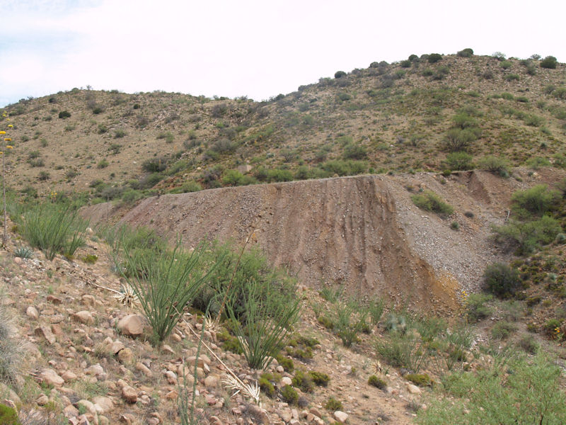
Someone attempted to re-work the Old Reliable Mine, but couldn't make a go of it and left these acid leaching ponds behind:
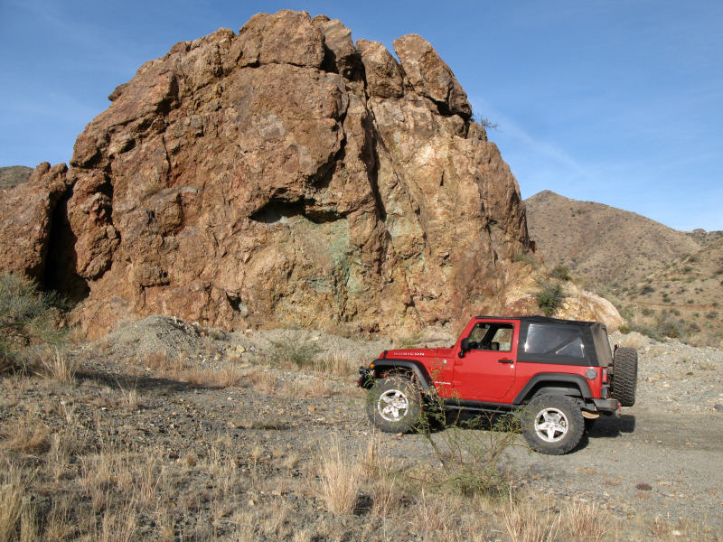
An unnamed copper prospect near the Old Reliable Mine:
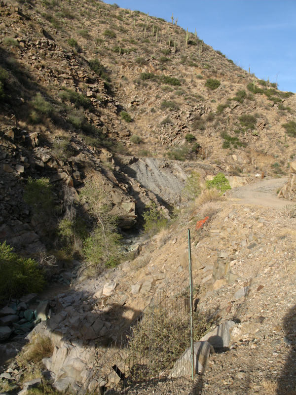
A view near the Childs-Adwinkle Mine:
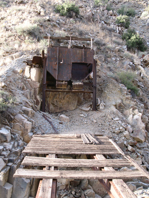
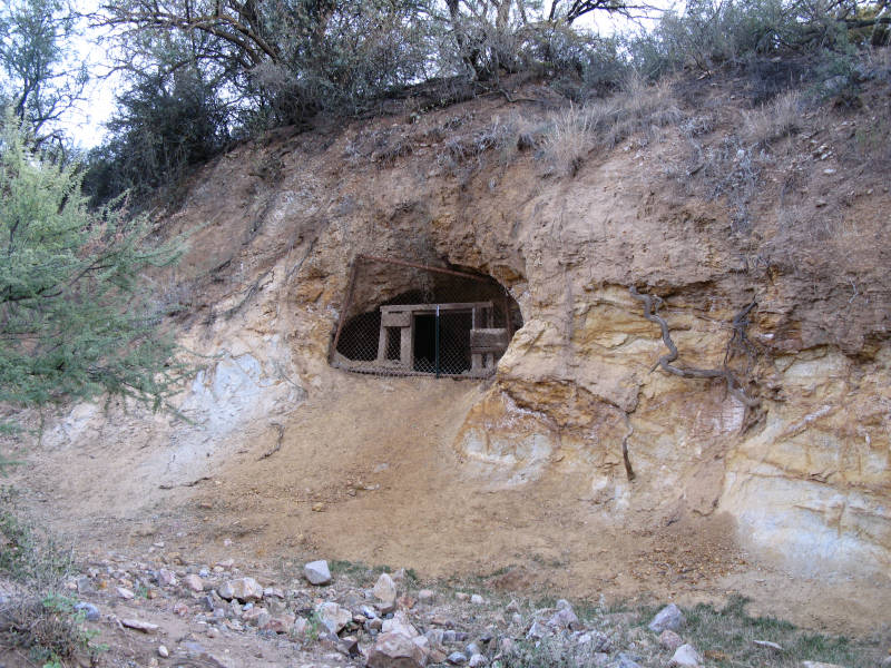
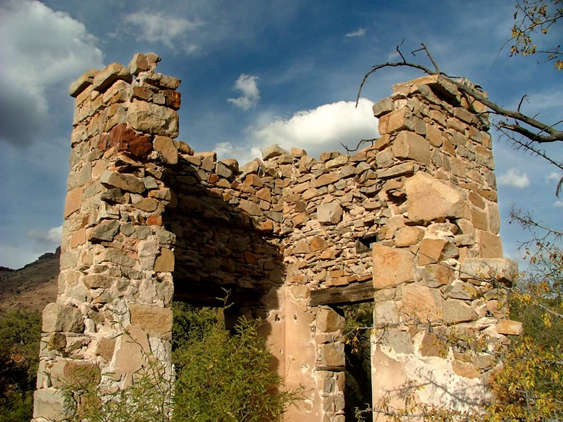
A structure at the Childs-Adwinkle Mine:
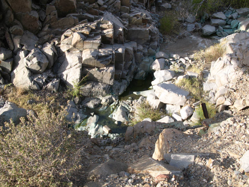
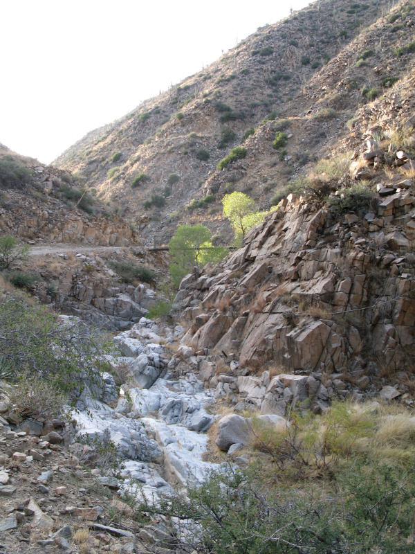
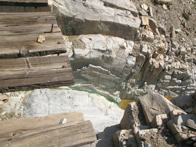
A view of a portion of Copper Creek below the Childs-Adwinkle Mine that still has stained green rocks from the copper workings:
A view of another structure at the Childs-Adwinkle Mine:
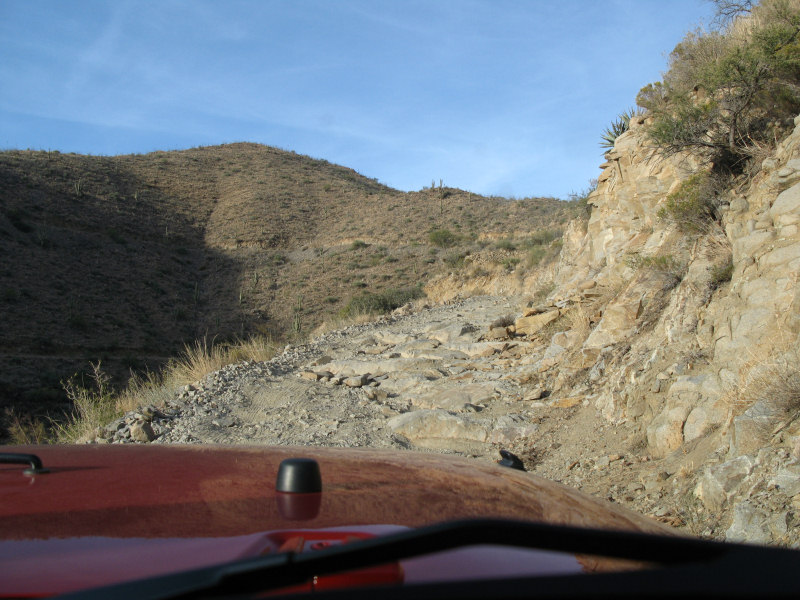
A rockier stretch of the trail:
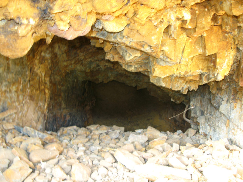
The Bunker Hill Mine:
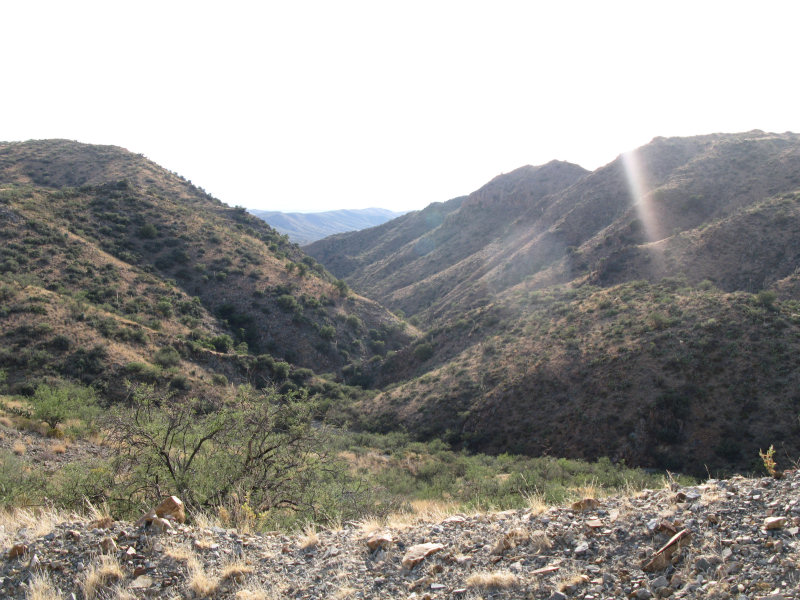
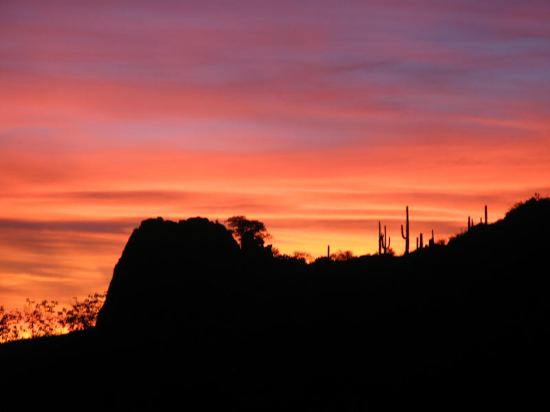
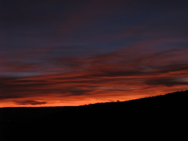
When we were attempting to exit the area we ran into a locked gate, so we turned around and later took this shot as the sun was going down:
Out of the mining district and heading back on the access road:
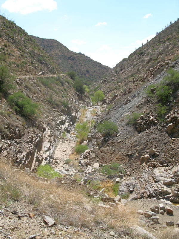
Date: 7/15/2012Suspension: TeraFlex 2.5" Spring Lift, BFG 35x12.50x17Photos:A view from the access road heading into the area:
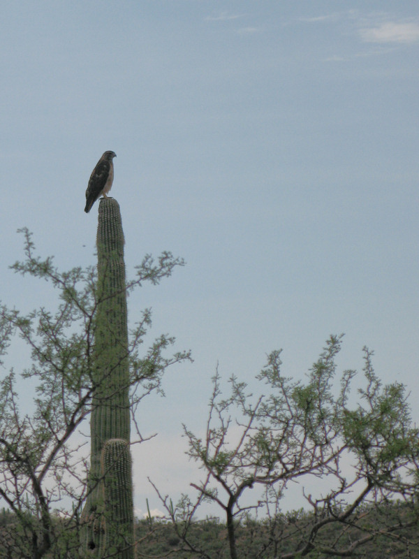
A local resident:
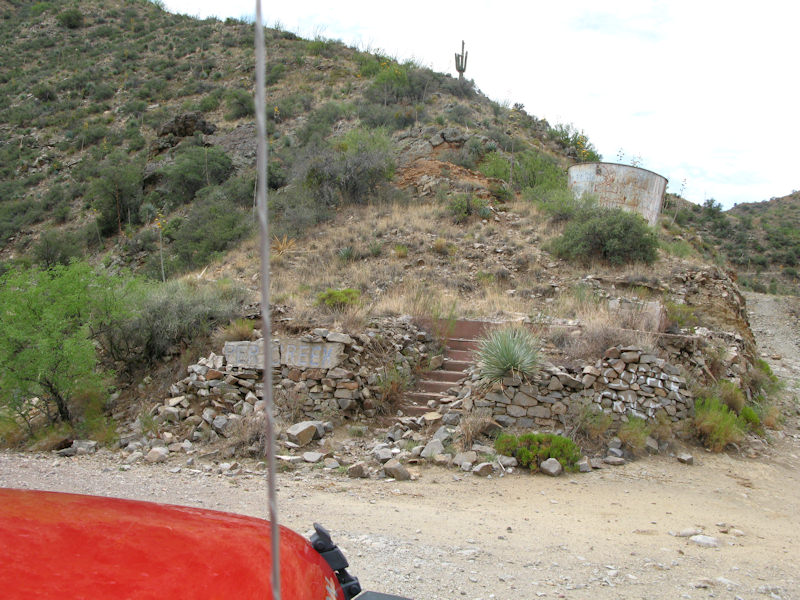
We came down the road on the left to the Childs-Adwinkle Mine:
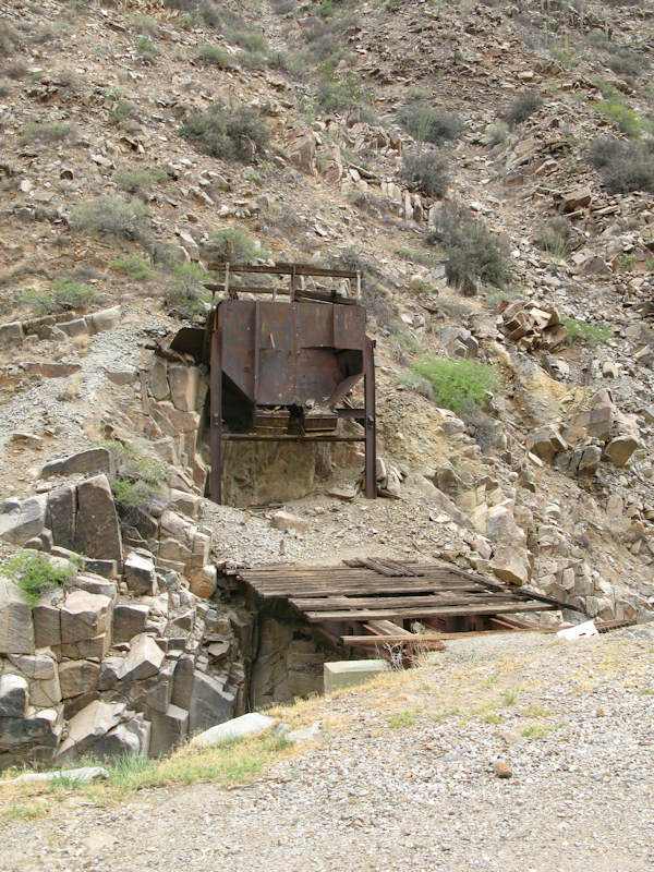
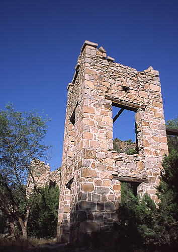
This structure at the mine needs some more investigation:
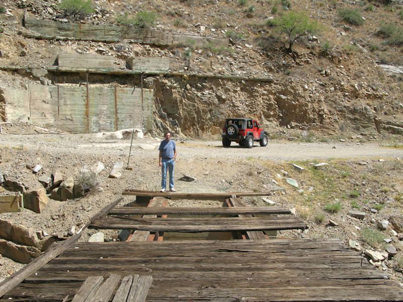
View from the other side:
Looking down:
Back on the trail passing some old equipment:
Heading to the Bluebird Mine:
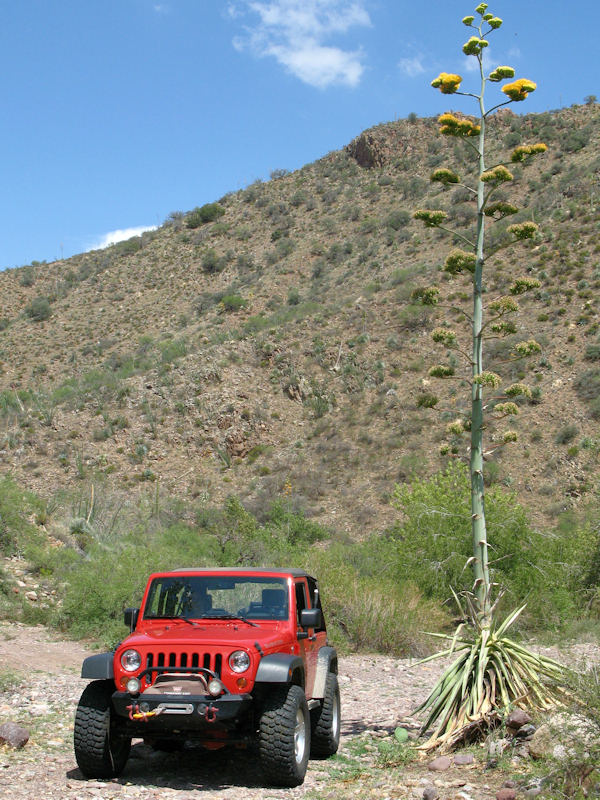
The Ocotillo and Agave seem happy:
The road to the mine was blocked, so we took a picture of the mine area from a distance:
Now we're heading toward these trails for Sibley Mansion:
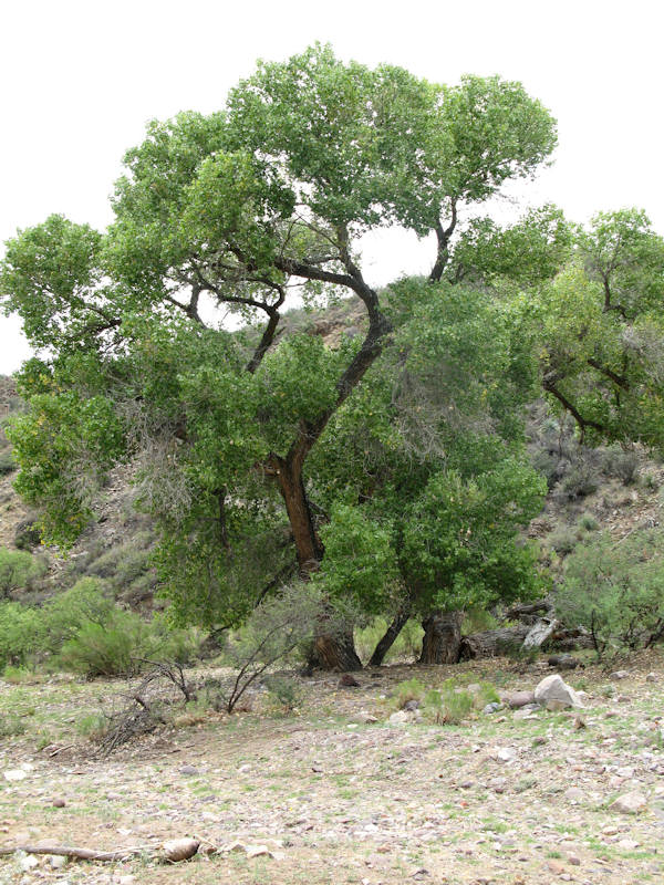
A big old tree in the wash:
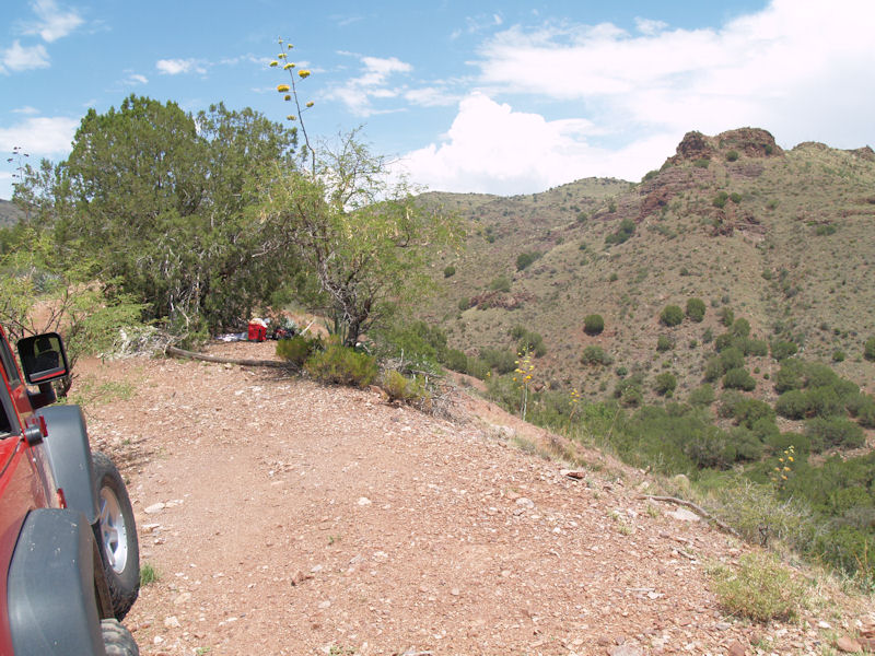
We got close to the mansion ruins and stopped here for lunch:
Here's a pic of the mansion from the web:
Another:
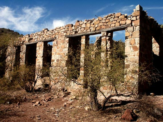
The General Store:
Heading back:
Lots of trails in the area:
Another agave:
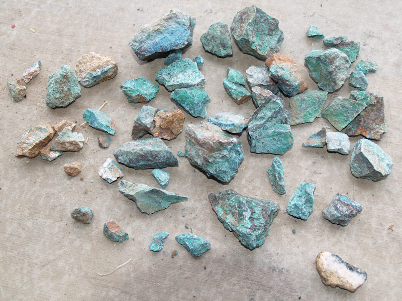
Some colorful rocks we found:
If you have any questions or comments about this page click here to send email.Last modified: July 17, 2012 01:11:37 AM |