|
|
|
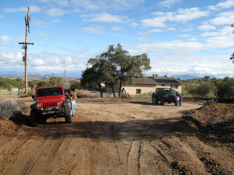
The Trail:This long trail has it all - scenery, rocks, ruts, washouts, hills, and water. It's not recommended to attempt this trail by yourself as there are many opportunities to get stuck. Also, parts of the trail are hard to find as they go in and out of water. Rating:3.5 Runs:Date: 2/21/2010Suspension: TeraFlex 2.5" Spring Lift, BFG 35x12.50x17Photos:Airing down at the start of the trail at Oracle. There was some light rain the day before:
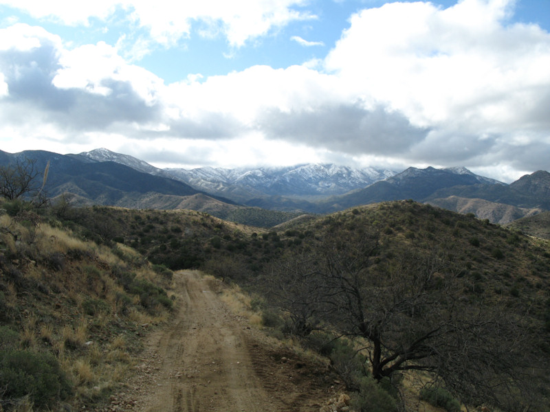
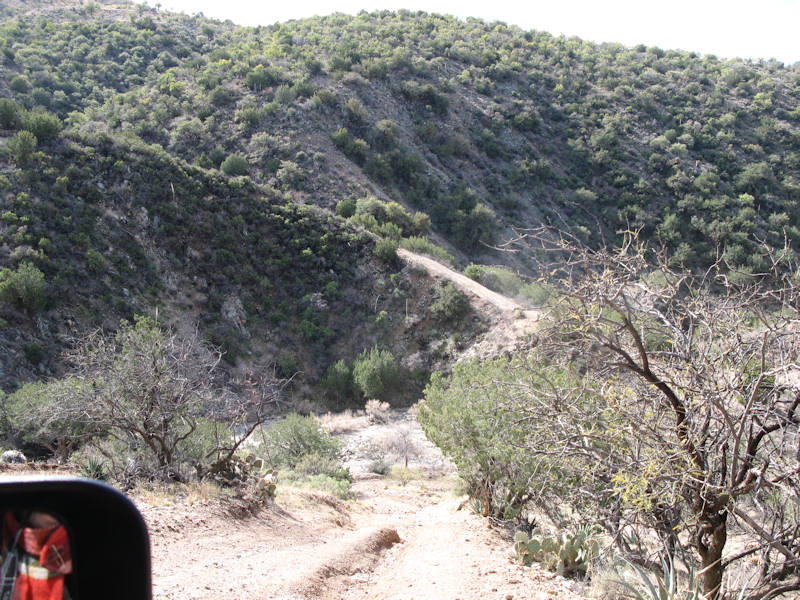
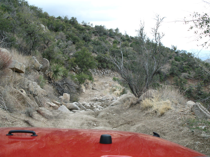
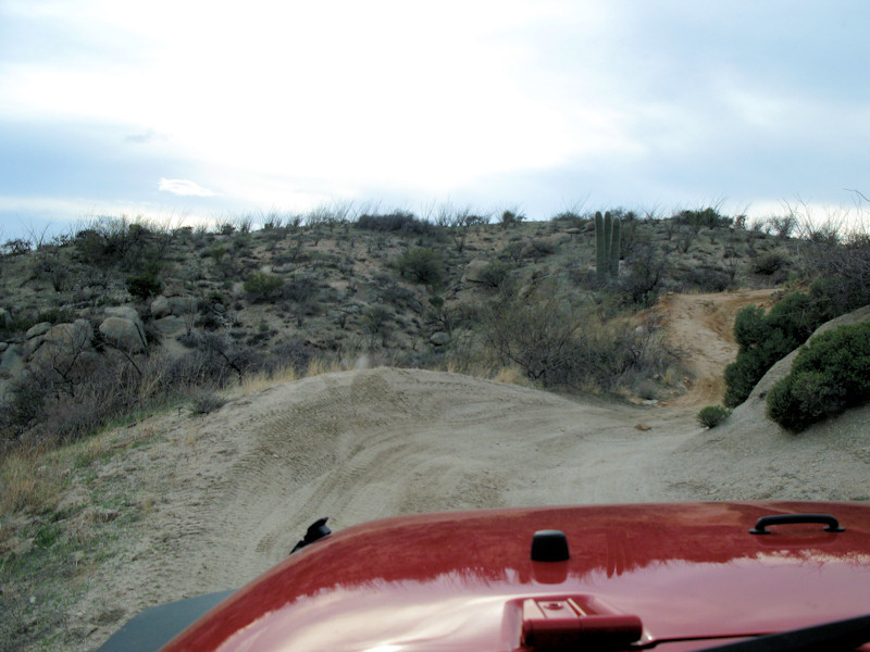
Starting out:
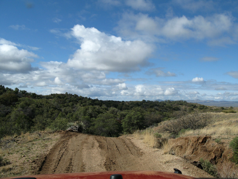
Some small hills on the road:
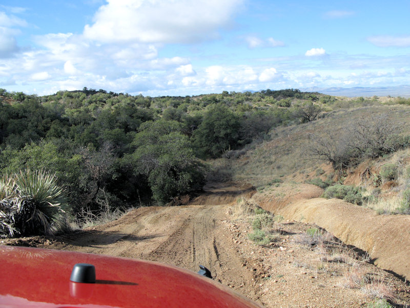
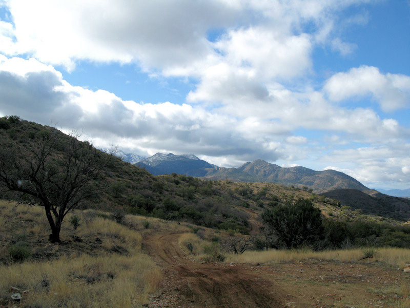
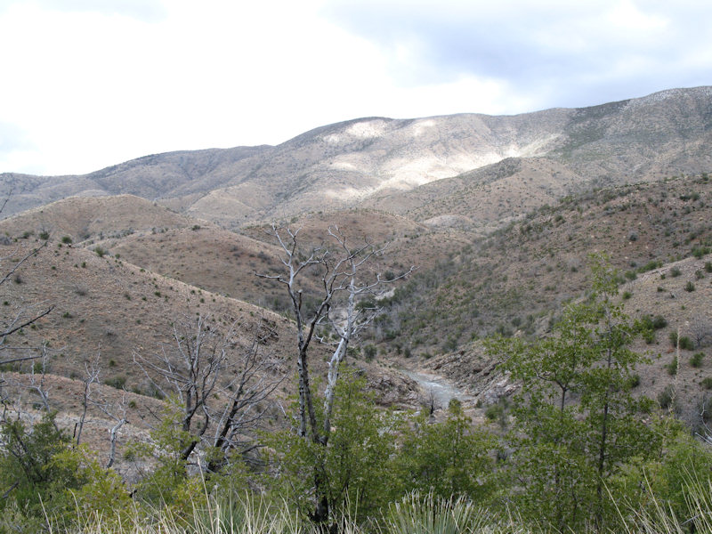
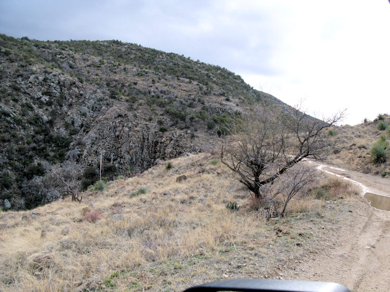
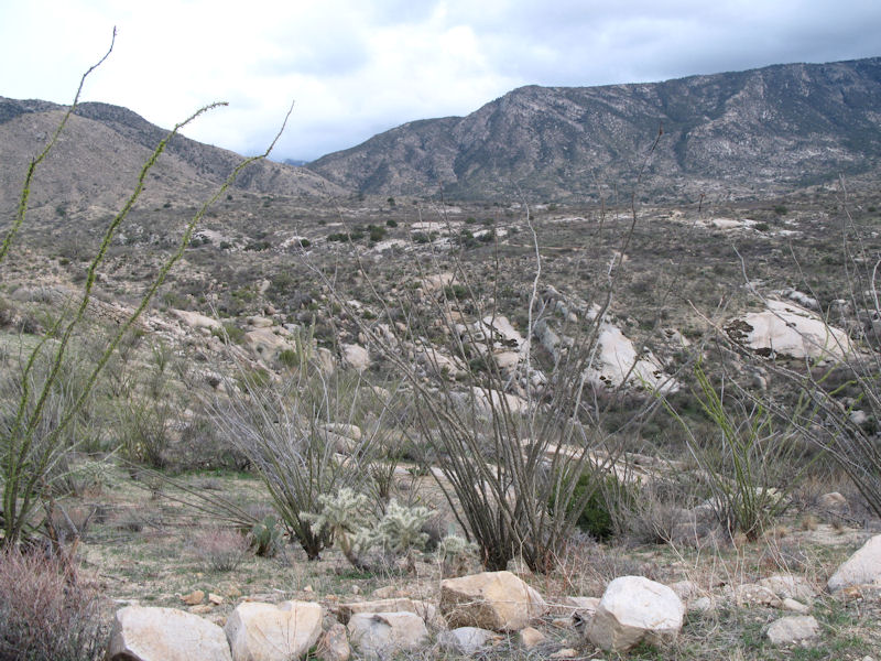
Some of the scenery along the trail:
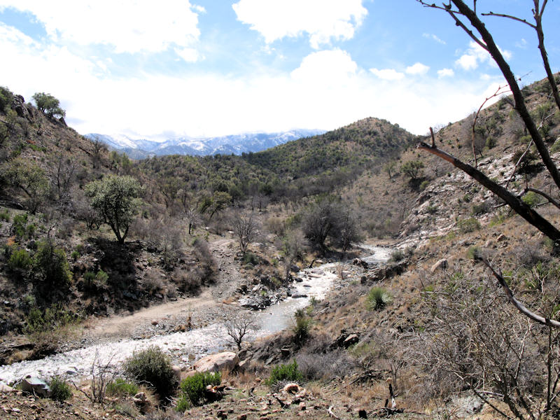
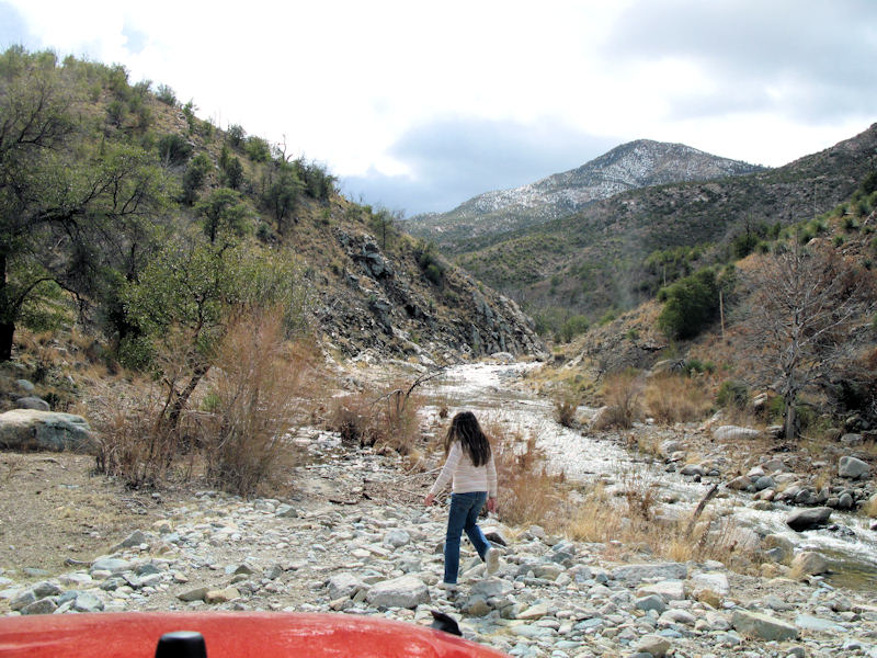
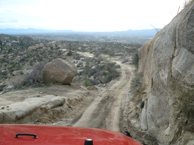
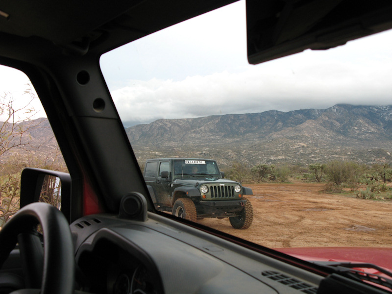
The trail is descending toward the Cañada Del Oro. You can see the snow in the mountains:
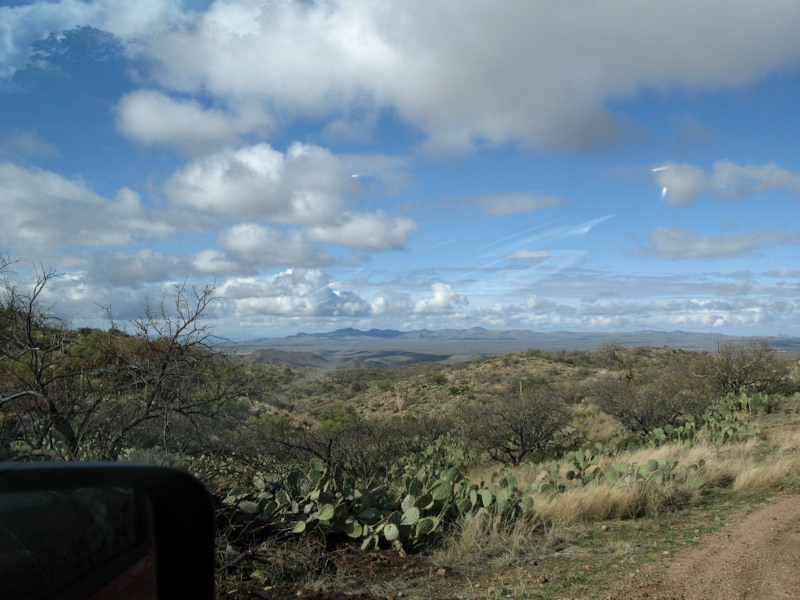
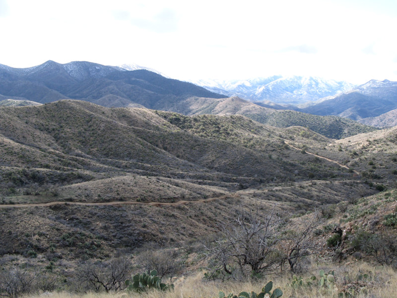
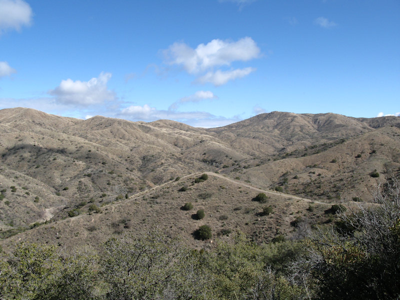
More rolling hills and scenery:
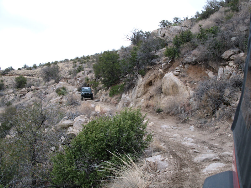
You can see the trail winding along below us:
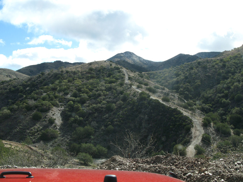
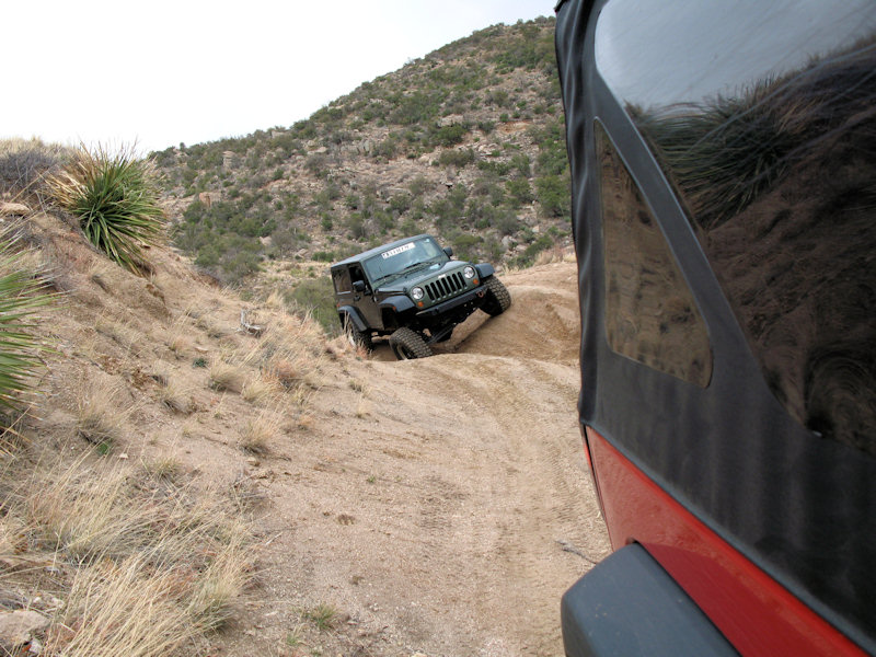
Here's a look at the Elevator Shaft. We'll be driving down to the bottom right then up to the top near the center:
Almost down at the bottom:
It felt like the hill would never end. Here a shot looking back after we finished it - we ascend from the left:
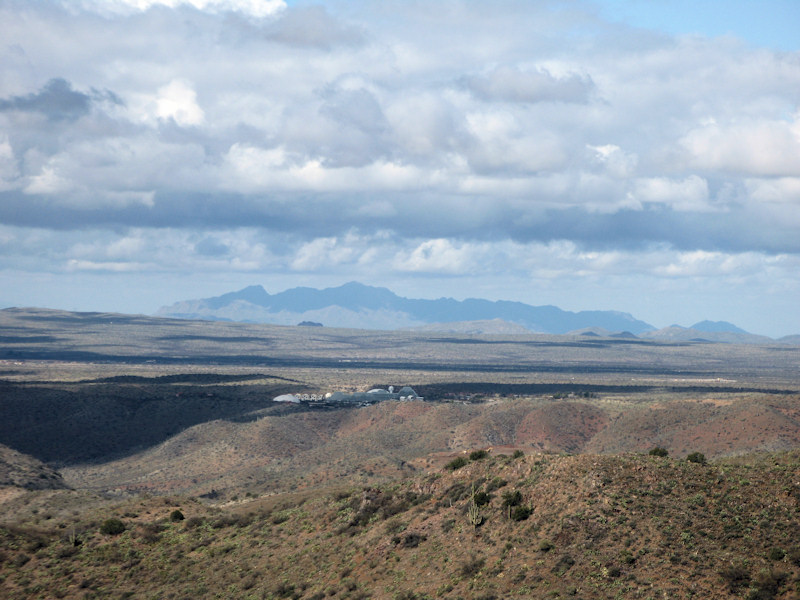
Along the way we spotted Biosphere 2 in the distance:
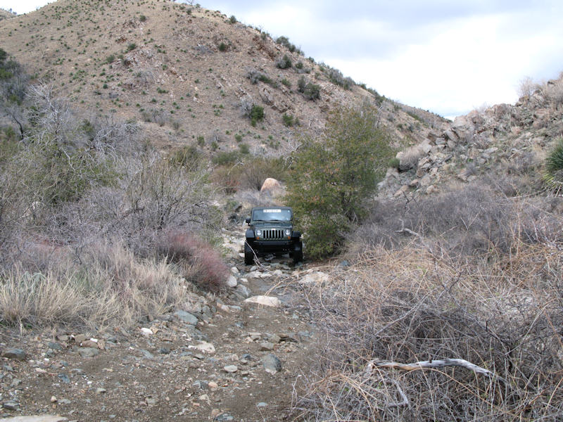
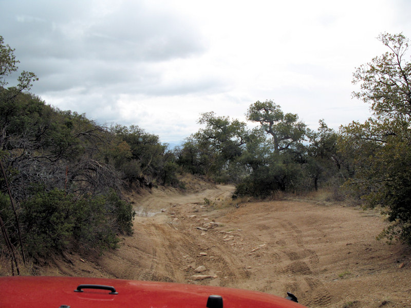
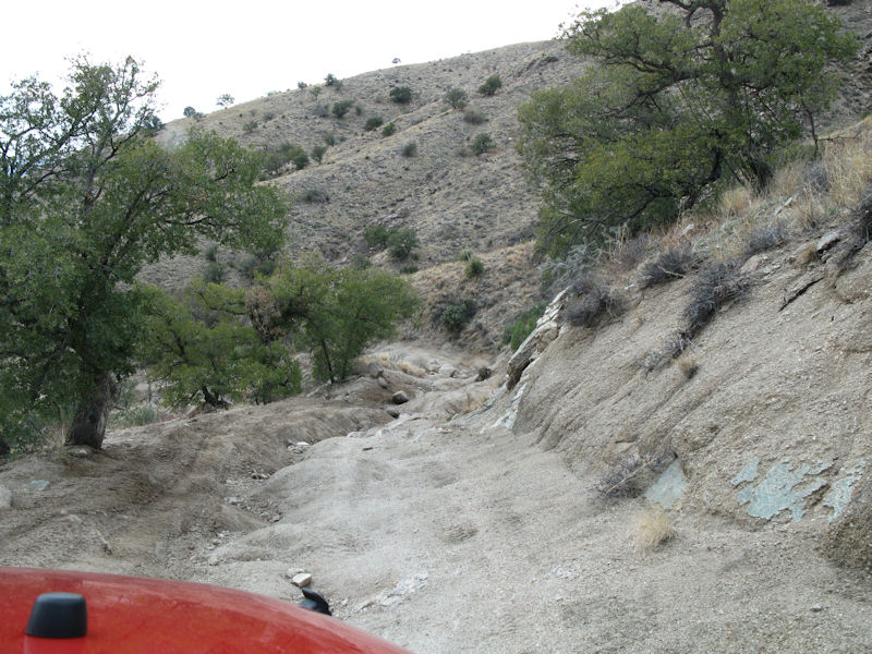
The road is getting a bit rougher as we continue to head down:
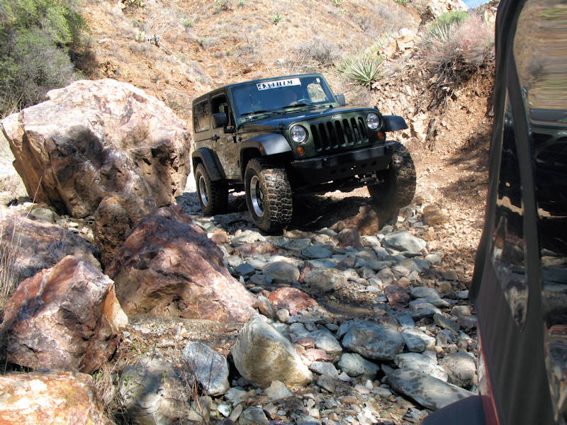
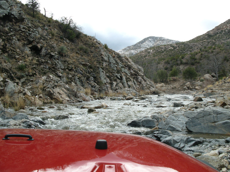
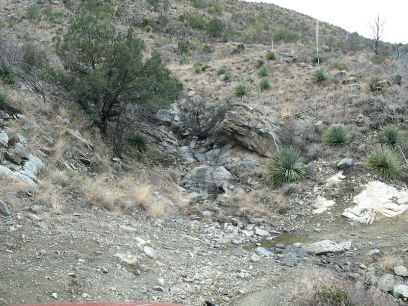
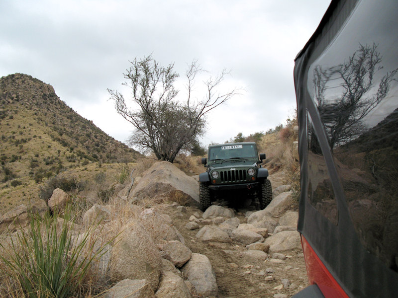
A rockier wash along the way:
Some smaller obstacles in the wash:
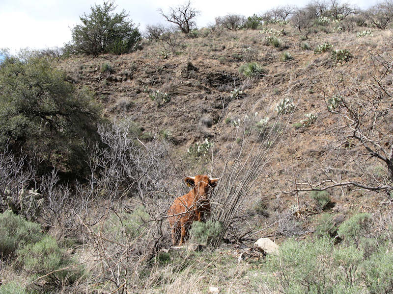
We saw a lot of these guys during the trip:
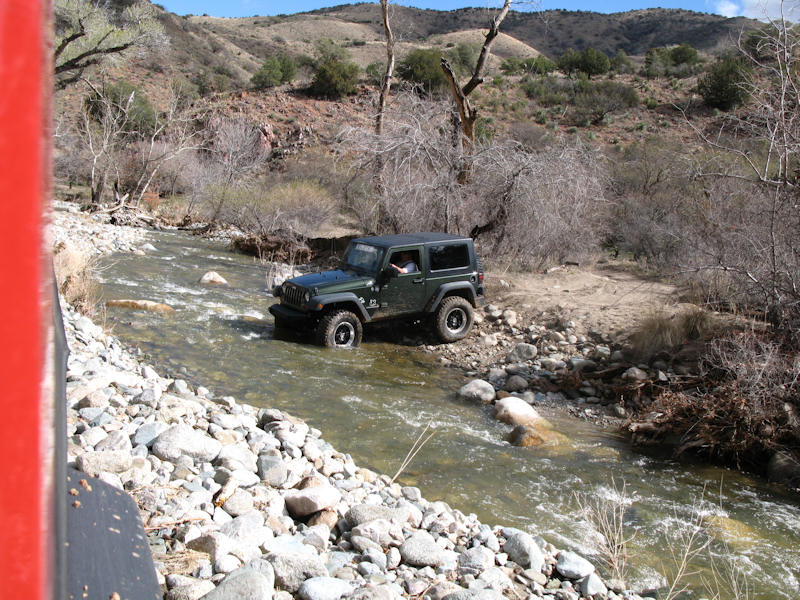
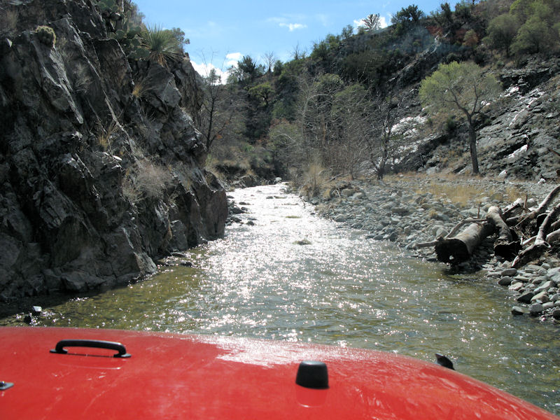
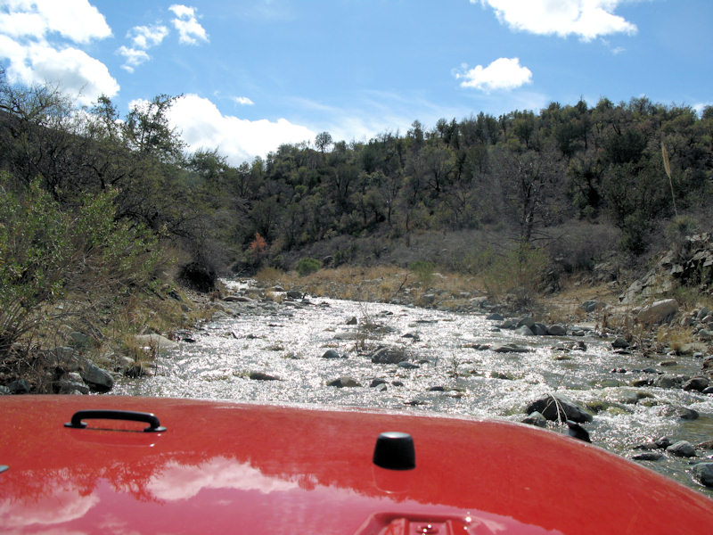
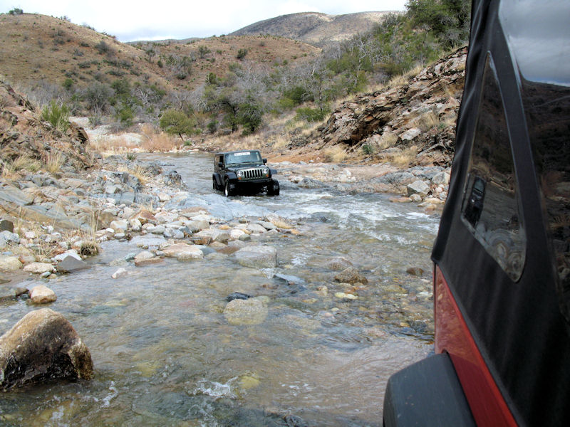
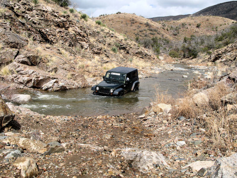
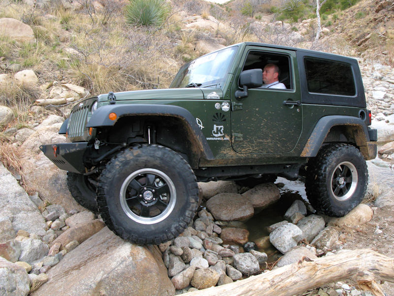
Our first, of what turned out to be many, water crossings:
Near/in the "car wash". We decided to take the water instead of the trail, but found a small waterfall further down so we turned out up by the trees:
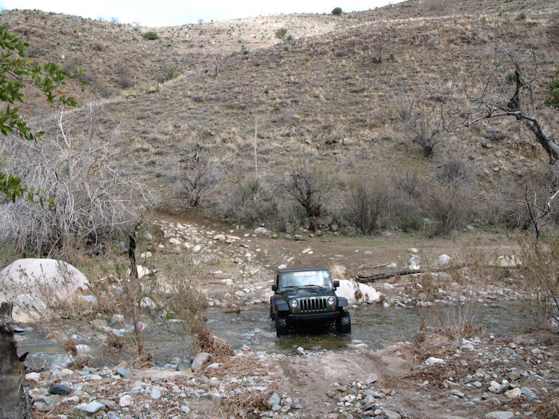
Another water crossing:
Heading down a hill to another water crossing:
Crossing after coming down the hill:
Another crossing - the trail is just visible to the right:
We found "The Step". We heard the correct way to attack this obstacle is to the left, but since we didn't have any experience with it, the area was a bit slippery, and there was a bypass, we decided to save it for another trip:
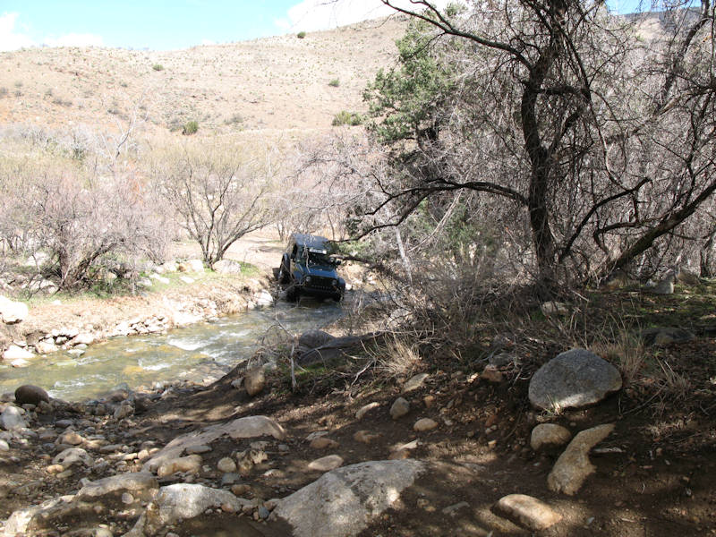
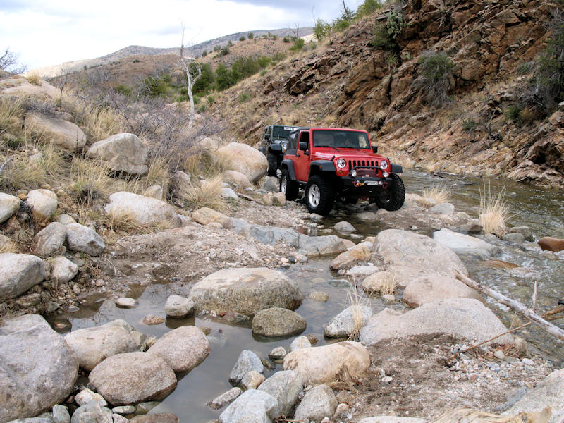
Another crossing:
Here's another water crossing. Did I mention there were a few water crossings?
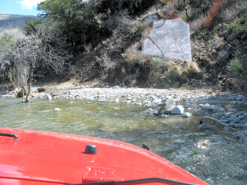
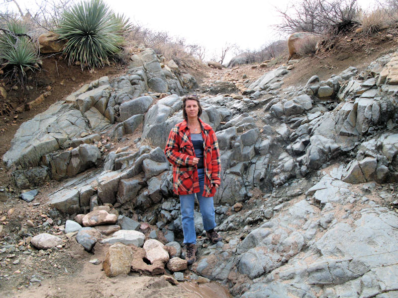
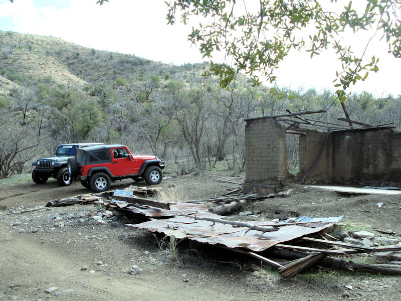
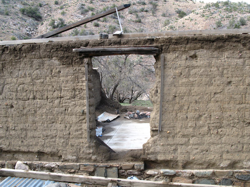
We stopped at Coronado Camp for lunch - of course people have wrecked a lot of it:
Looks like an old window:
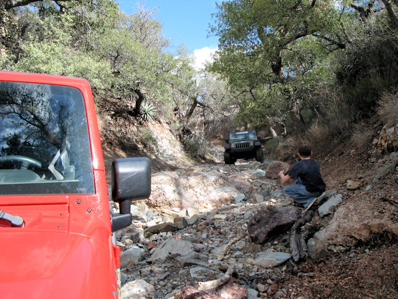
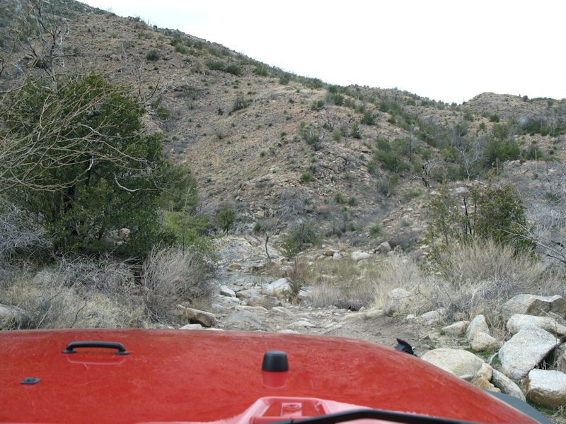
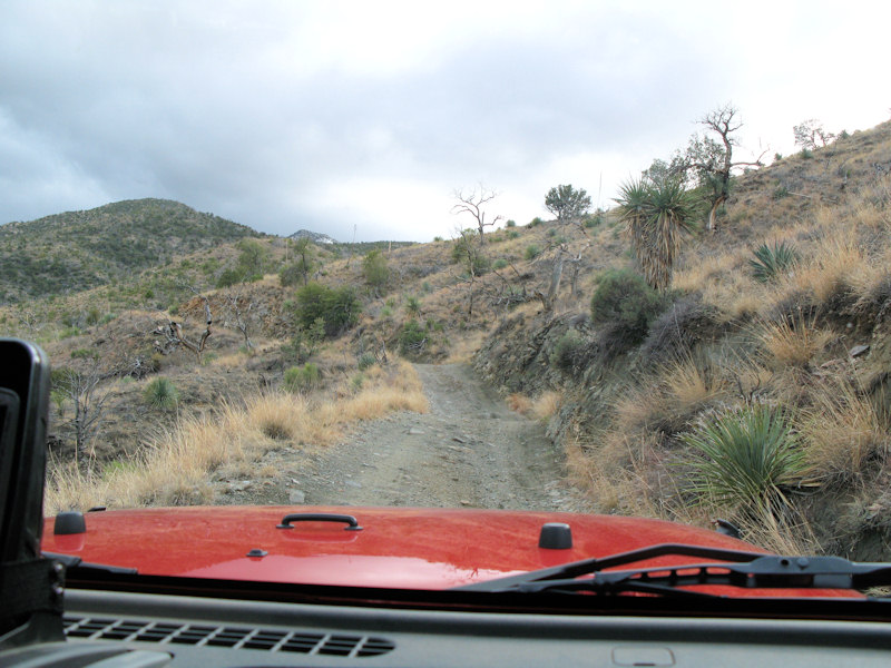
Back on the trail after lunch:
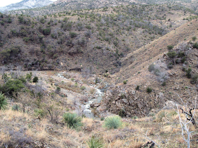
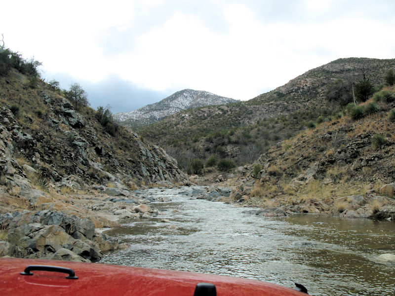
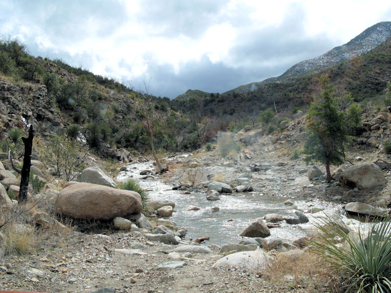
Still following the water:
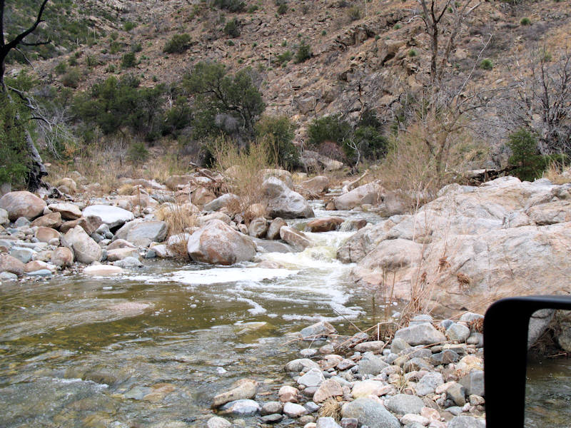
We came down here and couldn't find the trail. It appeared to end at the edge of the water, but there wasn't any sign of the trail on either bank. We looked at the GPS and a map and determined the trail continued about 1/4 mile up the Cañada Del Oro:
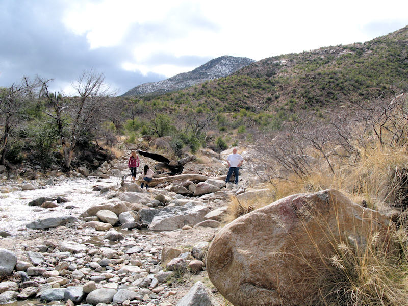
As we got to the edge of the water we could see the trail dead ahead just past the rapids. This was going to be interesting:
It wasn't too bad up to the rapids, you can see the trail ahead:
Looking back at Brian:
It was pretty deep just before getting back on to dry land:
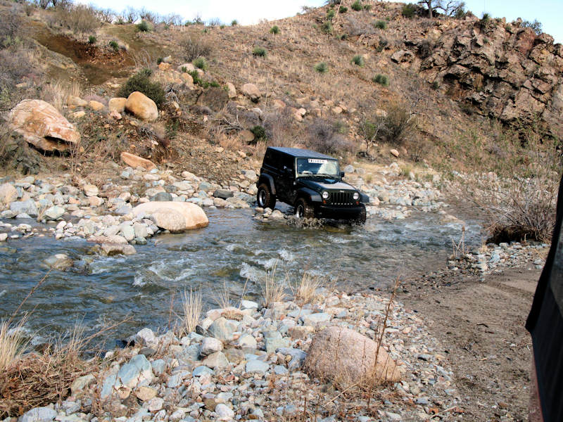
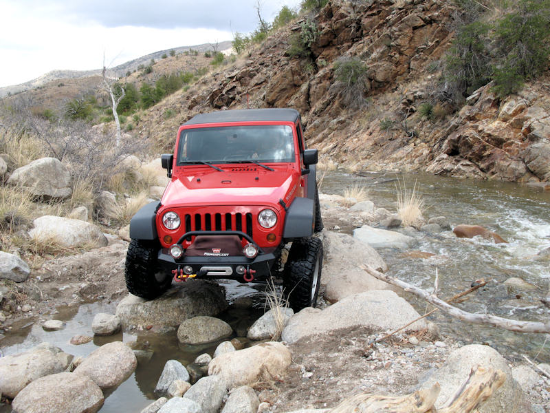
Another crossing - at least the trail is easy to find:
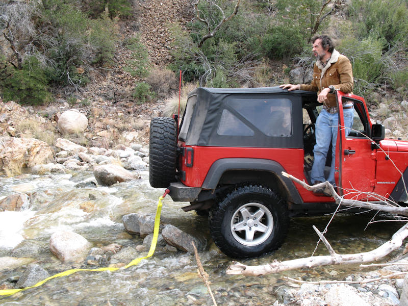
Next, we came to this situation. Some bigger boulders on the right, or a rocky crossing to the left. We decided to go to the right over the boulders, but the biggest boulder was taller than the tires on our Jeep, which made navigation a bit difficult, so I backed up and opted for the water crossing. What the heck, we already crossed the water a zillion times already:
D'oh, not this time. The Jeep came off one of the rocks, the differential landed on another, and the water was deep enough that there wasn't any traction to go forward or to backup, so a little tug with a strap was needed to pull the Jeep out of the predicament:
Back on dry land, and time for plan C - stack some rocks at the base of the big boulder so the Jeep can make it over:
Heading up to the boulder:
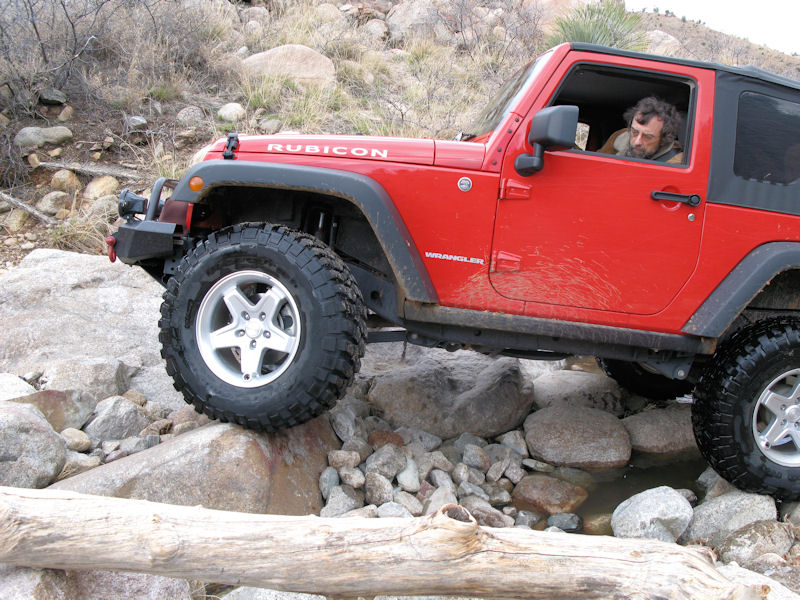
Easily going over this time (you can see all of the smaller rocks at the base of the boulder):
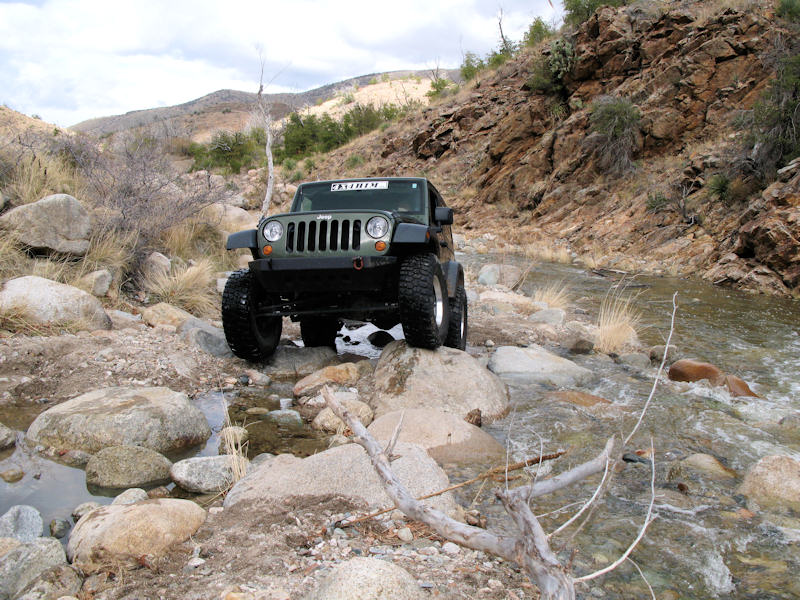
Brian's turn:
Made it over easily too. After we both made it we de-stacked the boulder:
Crossing here was a snap - you can see a small waterfall in the center of the picture:
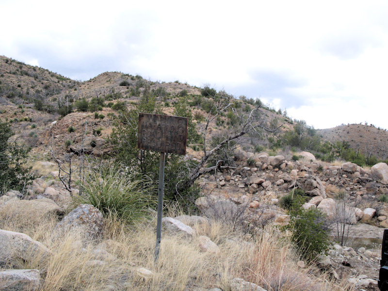
"WARNING HAZARDOUS ROAD 4WD REQUIRED". You can see the crossing and boulder toward the right:
Here the trail starts to make a 180 degree turn to the final water crossing and up and out of the canyon:
Finishing the last crossing:
The trail ascends pretty quickly as we say goodbye to the water:
The trail up here was a bit narrower. We did see see another small waterfall along the way:
Moving along:
Another view along the way:
Still heading up. There is a big drop off to the left:
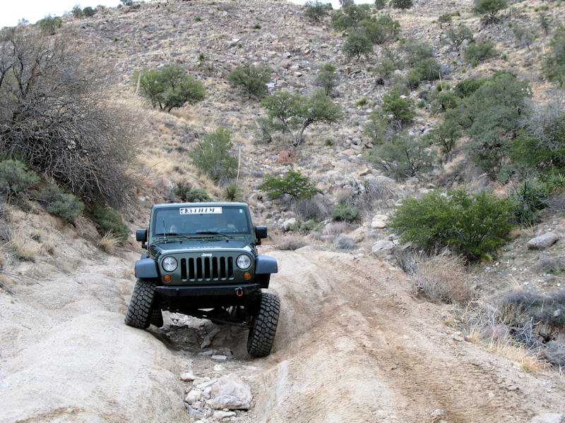
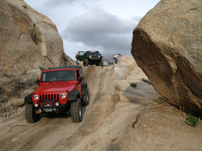
Another change in the trail - some small ruts to navigate:
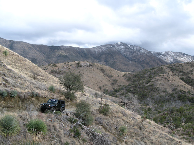
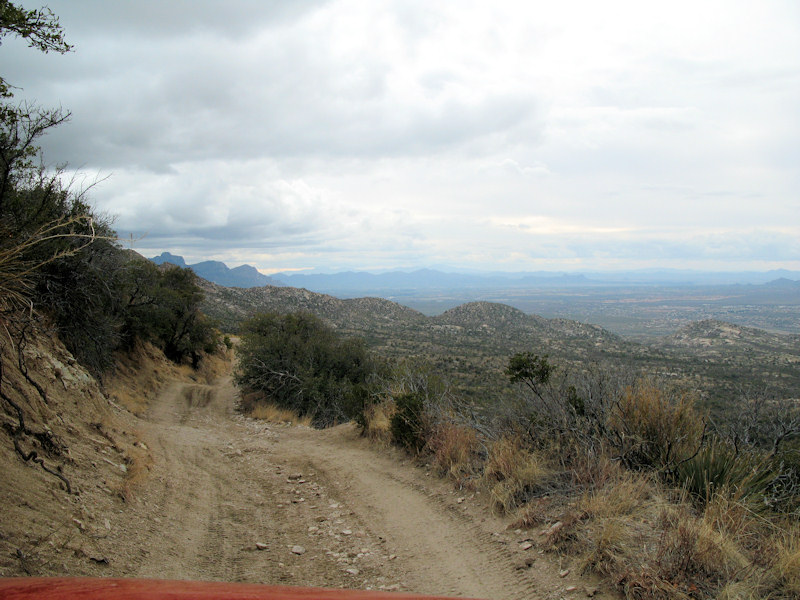
We finally made it to Charouleau Gap - time to start heading down:
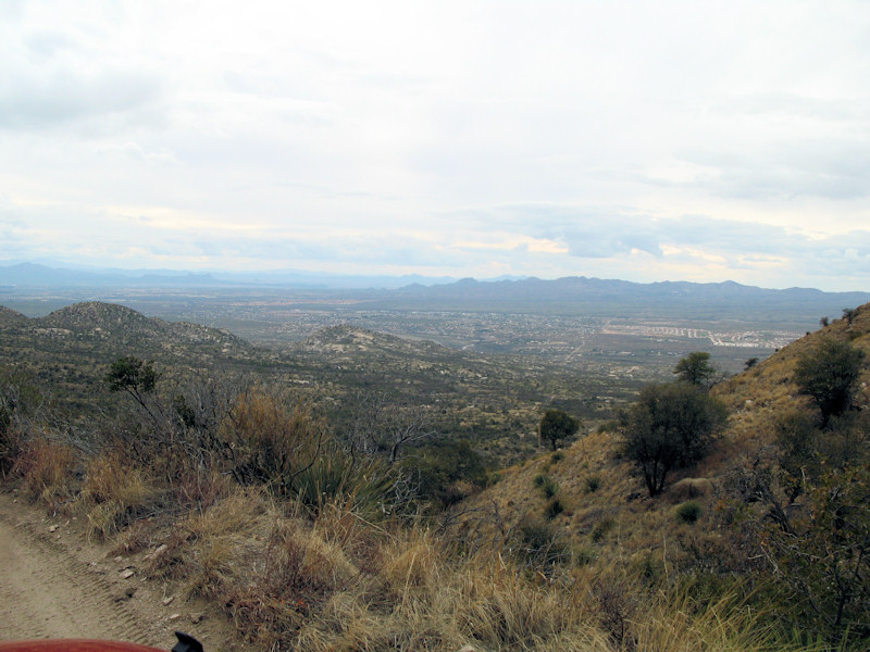
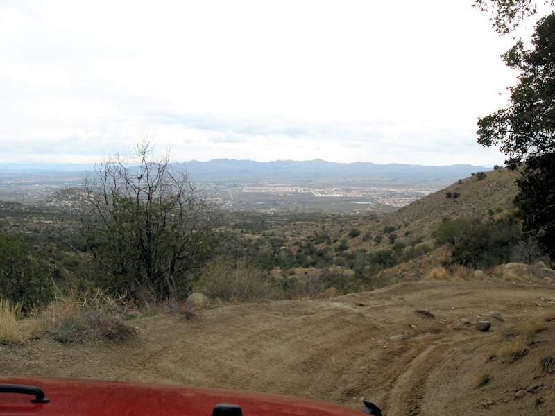
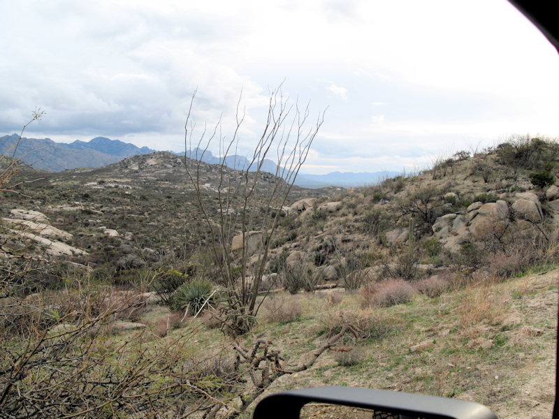
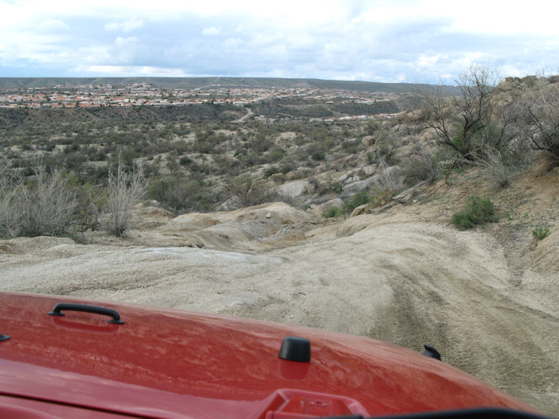
Around the bend we saw a great view of the valley below:
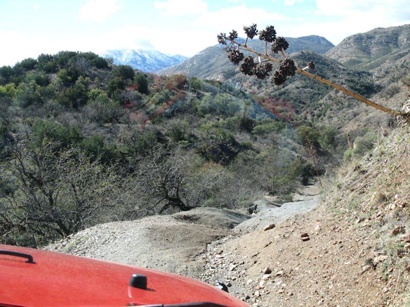
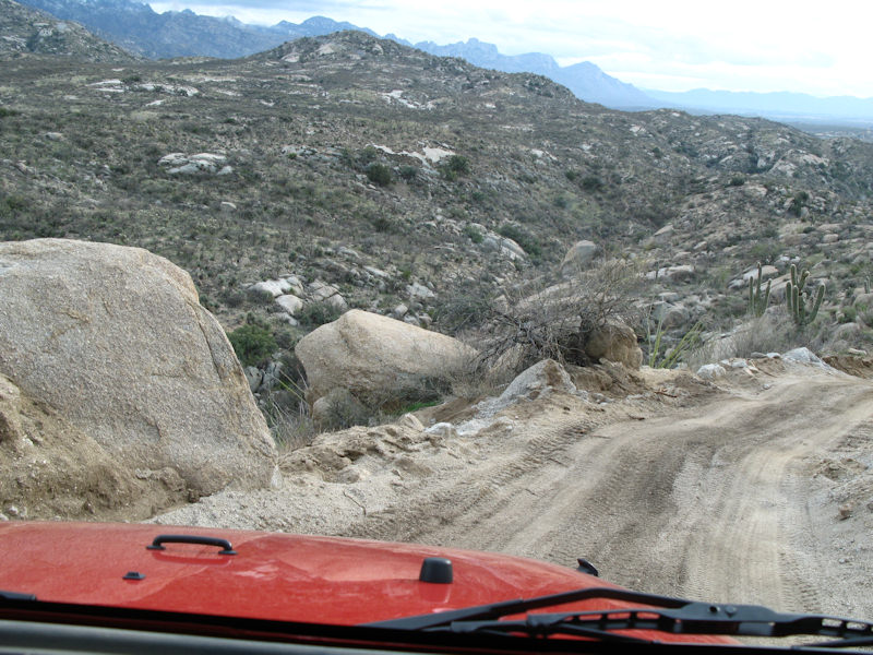
And the road is getting a bit rougher again:
Some rocks along the way:
Navigating the rocks:
Still heading down:
Another view of the road and valley below:
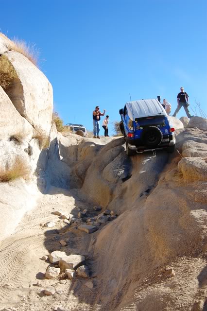
The washouts over here were pretty big in spots:
Another washout coming up:
A good opportunity to demonstrate some articulation:
As we got further down we started to see more boulders:
And more washouts:
And more boulders:
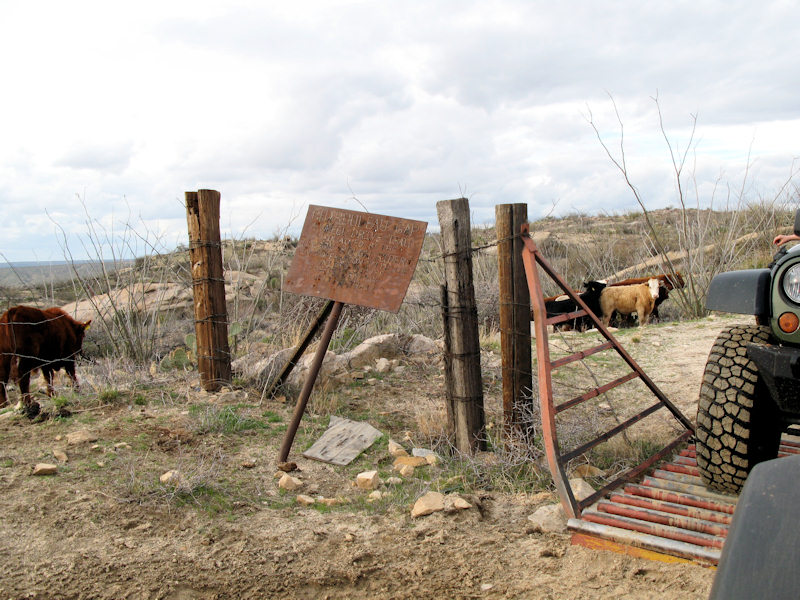
And more cattle:
"CHAROULEAU GAP, 4 WHEEL DRIVE TRAIL MAINTAINED BY THE TUCSON ROUTH RIDERS IN COOPERATION WITH THE UNITED STATES FOREST SERVICE “ADOPT-A-TRAIL”:
Recently the Forest Service did some "maintenance" on the trail. They brought a truck based hammer and bulldozer to makes some modifications. You can the the road is pretty smooth here and the granite is broken in spots:
More road "maintenance" and a scenic view of the valley:
Here's how Kiss Rock looks after it was "maintained":
Here's what it looks before the "maintenance":
Some more "maintenance" as we're getting close to the end of the trail:
At the kiosk in Catelina:
If you have any questions or comments about this page click here to send email.Last modified: November 13, 2011 05:15:16 PM |