|
|
|
The Trail:We started out on a benchmarking trip from Dugas to Strawberry along FR 68 G, FR 68 E, across the Verde River, and finally up Childs Road. The road starts out as a well graded Fire Road. Along the way we met someone who was born and raised in Dugas, and we asked if we would have any problem reaching a benchmark that is located at the edge of the mesa, and if we could get across the Verde. He took a look at the Jeep indicated that the road got a lot rockier and we would get some AZ pin striping, and since he didn't think the Verde was in flood stage he thought we should make. We drove further down the road and it did get a lot rockier, but we weren't even close to getting more pin striping. As we came to the edge of the mesa and started heading down we found the pin striping section - not to mention a very narrow road with very limited places to pull off or turn around. We made it down and across the Verde and out (fortunately the gate at the old Childs Power Plant was unlocked). The road is very scenic, but the 3 mile stretch of road that starts at the top of the mesa is very dangerous, and would be extremely challenging if another vehicle happened to be coming up the road at the same time. Unfortunately, this was a benchmarking trip, so there aren't many good pictures of the actual road. Also, when we were at the worst portion of the road we were not thinking of taking pictures. Rating:3.0 - wider vehicles are NOT recommend to attempt driving down from the top of the mesa Runs:Date: 7/5/2009Suspension: TeraFlex 2.5" Spring Lift, stock tiresPhotos:Past Dugas. The road here is well graded:
You can see here it's little bit rockier:
A rocky ledge along the way:
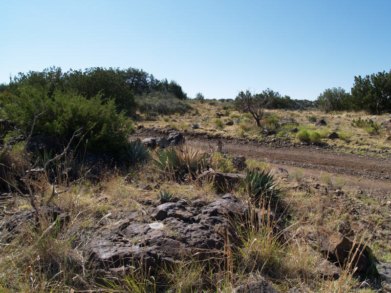
The road split into a rockier path and a muddy path (we're on the muddy path):
Another view along the way:
The old road is in the foreground, we on the newer spur in the background:
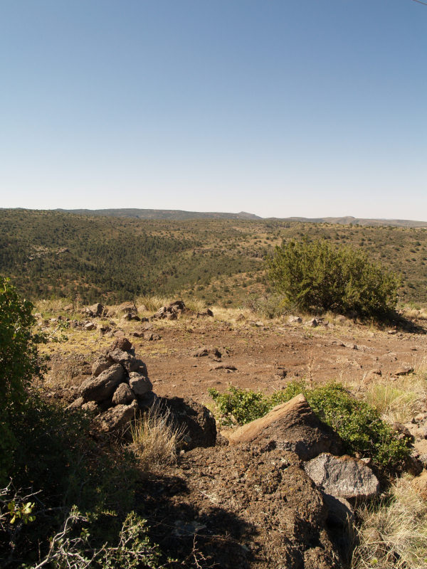
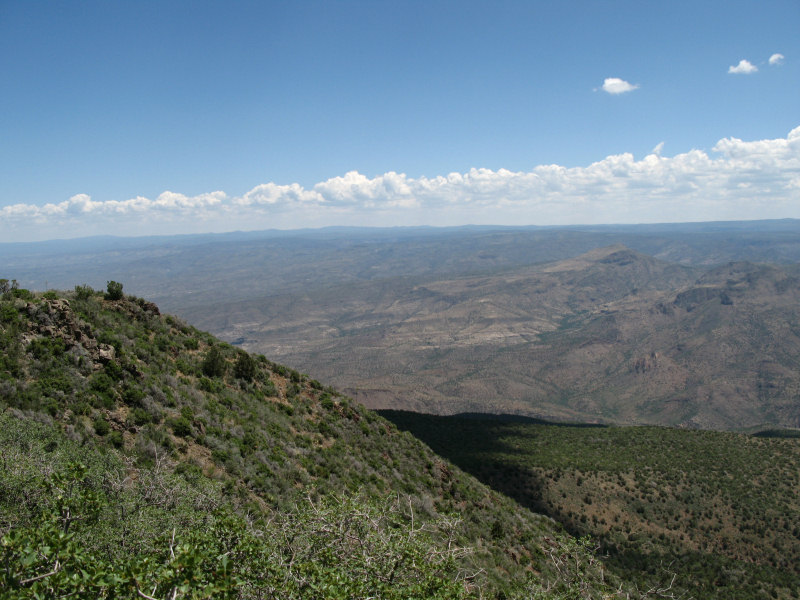
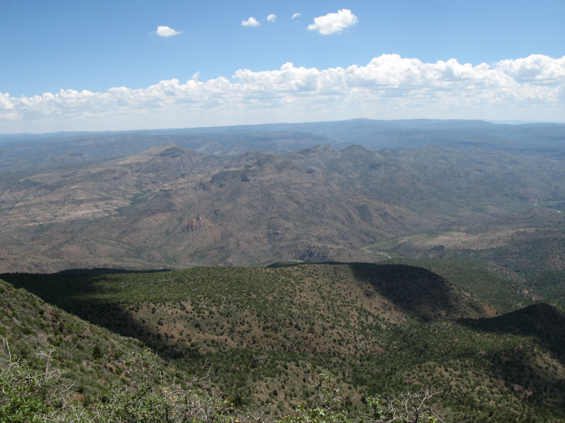
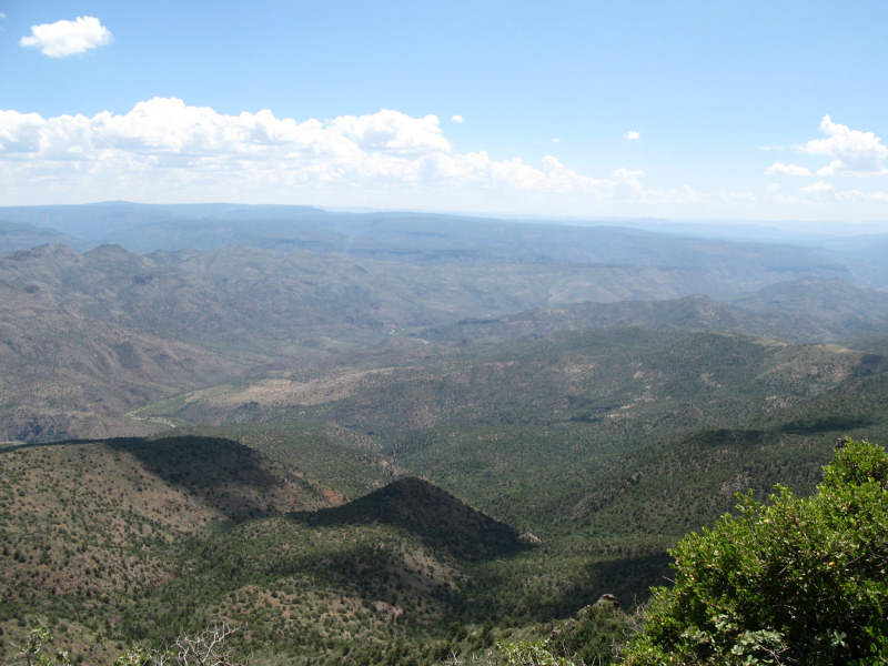
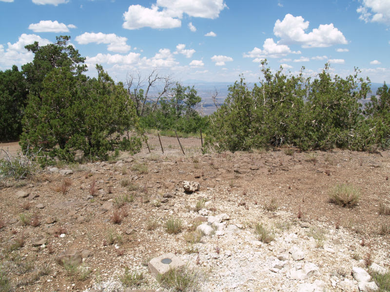
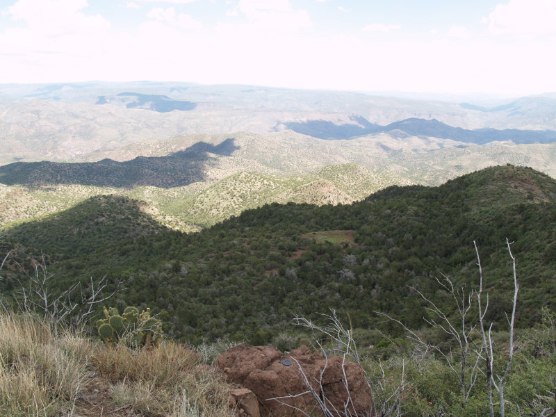
Some panoramic shots from the top of Tule Mesa (about 6,600 feet). The Verde River is located at the bottom (about 2,600 feet):
More - you can see the Verde in the center:
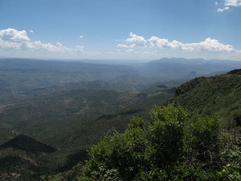
More:
The last shot from up top. You can see the edge of the road on the middle of the right edge of the picture, you may be able to make out part of the road traversing along the ridge in the middle of the picture and and where we will cross the Verde on the middle left of the picture:
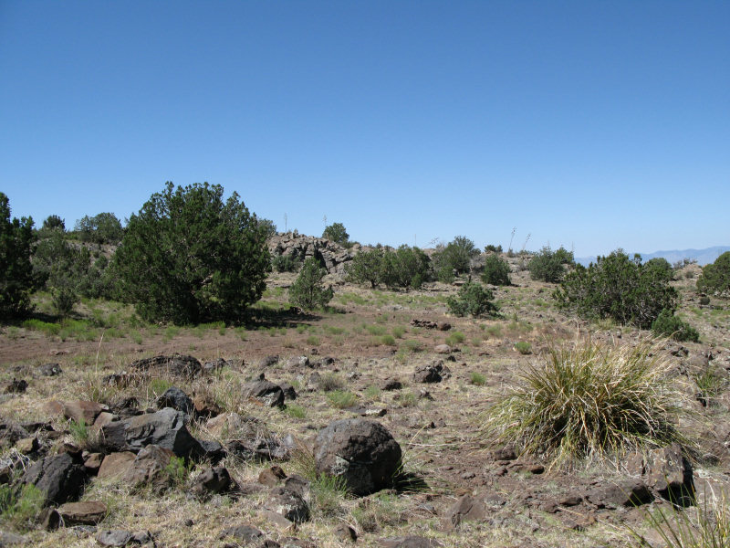
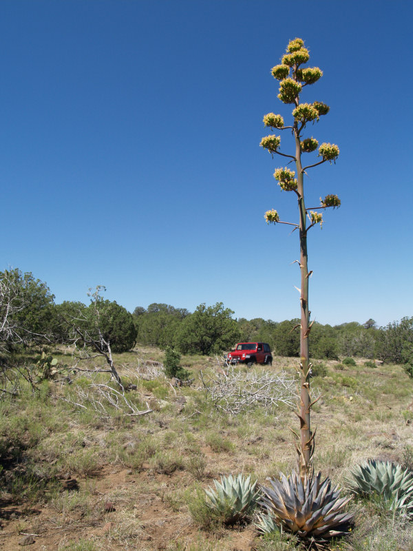
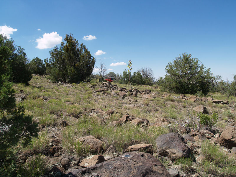
Still on top of the mesa:
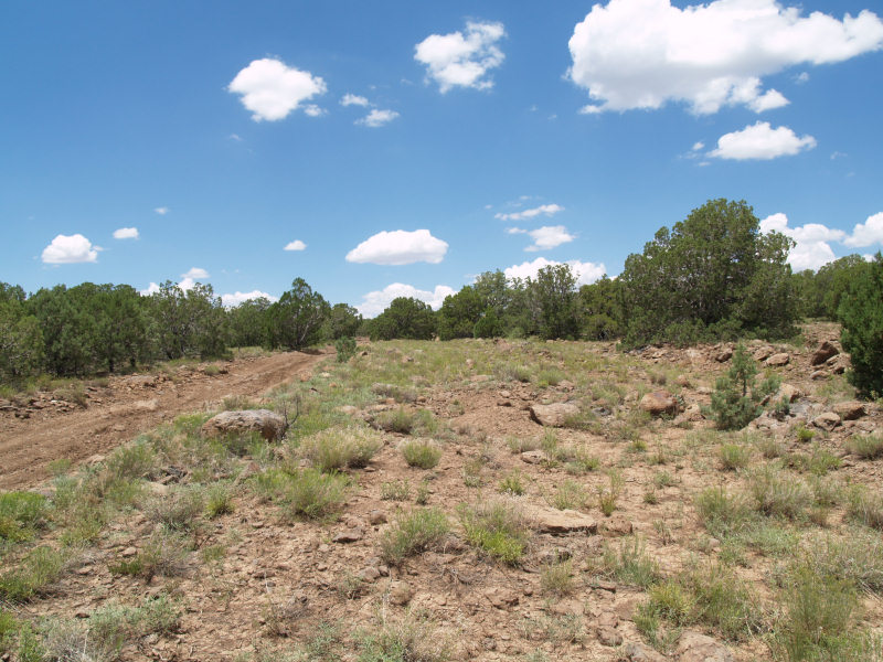
The road is fairly rough here:
Here's where the road swings down over the edge of the mesa and heads down into the valley. A sign said something like: "This dead end road is not maintained for public travel":
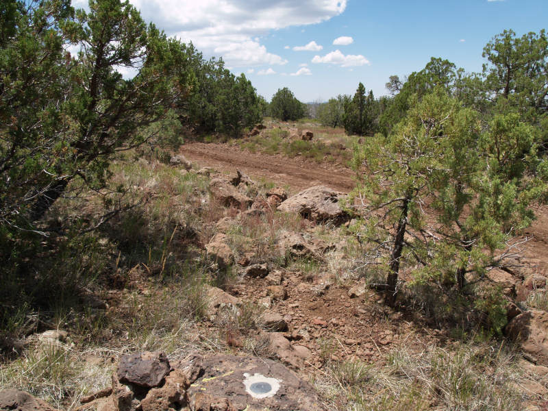
We really didn't think about taking pictures as we were traversing the one-lane road near the top of the mesa. We did stop for one benchmark along the way. It was on a rock outcrop where the road falls off to the right, but there was enough room to walk over on the grass to the mark:
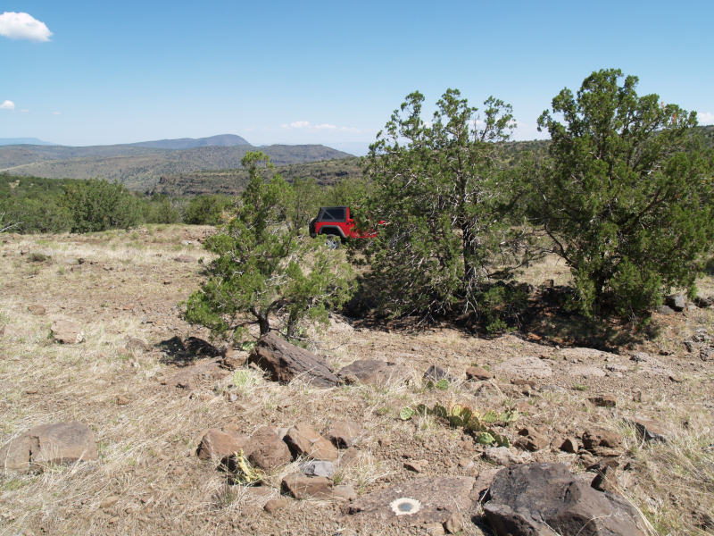
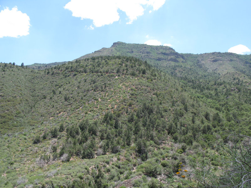
After we drove about 3 miles from the top we reached a safer location to stop and look back at the road. You may be able to just make out the road zigzagging across the mesa in the background:
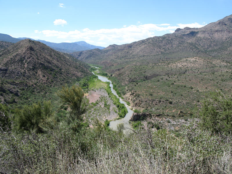
Finally getting near the Verde River:
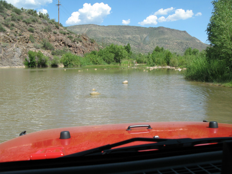
A view of the river from in the Jeep. Jane already "tested" the depth of the river to make sure the Jeep could make it (she's on the other bank):
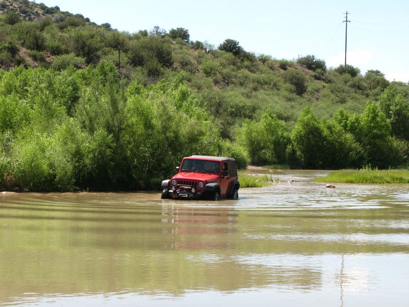
Heading across:
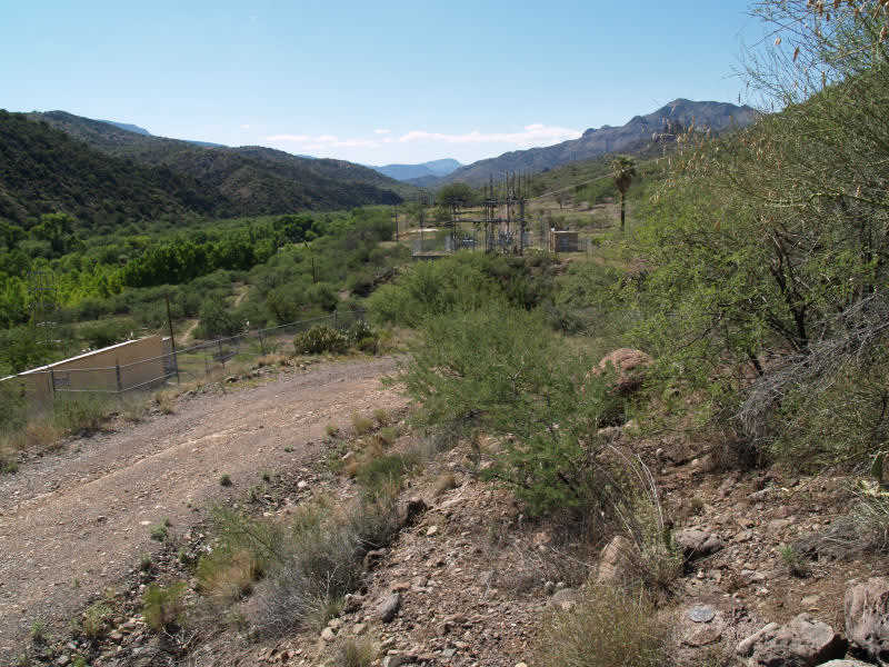
Just about past the old power plant. There's a gate to the left that must be unlocked by the Park Service, or you'll be stuck here:
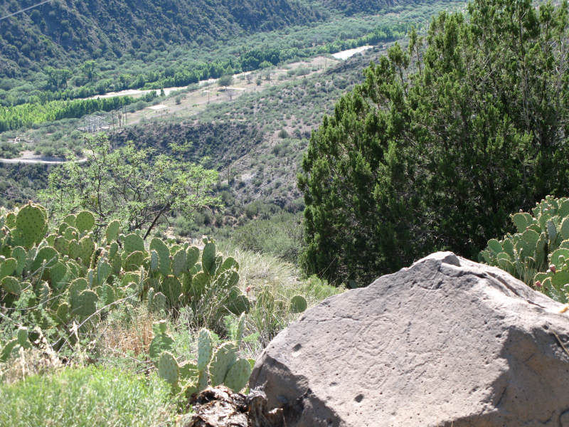
Climbing out of the valley. We found this rock with petroglyphs overlooking the power plant site and the Verde River:
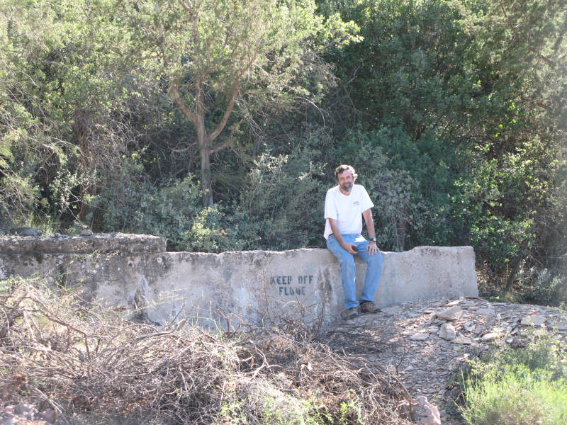
Ruins of the water flume that was used by the power plant:
If you have any questions or comments about this page click here to send email.Last modified: December 21, 2009 06:36:20 PM |